-

Building resilience to extreme weather events in the Pacific
Feature story02 September 2015Cyclone Pam’s furious flight path across the South Pacific in March this year illustrated the danger natural hazards pose to life, livelihoods and infrastructural development in the region. -

Revealing Kapiti Island's submarine landscape
Research ProjectWe are using modern techniques to map seafloor surrounding Kapiti Island, an area of significant cultural and environmental value to New Zealand. -

Is extreme weather the new normal?
News article24 March 2015New Zealanders have just experienced one of the driest summers on record – great for beachgoers and cricket lovers, but far from ideal for farmers and orchardists relying on rain to maintain productivity. -

Innovative Samoan community project exhibition now online
News article04 December 2014An exhibition of work NIWA was involved in titled “Shifting Paradigm: The Village of Sa’Anapu, Samoa” was hosted by the National Museum of Samoa this year and is now available in a striking digital presentation. -
France, New Zealand co-operate for a better future for a Samoan village
Media release25 August 2014A unique pilot project to help Samoa’s largest village better cope with natural disaster is the focus of an upcoming exhibition at the Museum of Samoa timed to coincide with a major United Nations conference in Apia. -
New Zealand facing greater weather extremes: international report
News article31 March 2014New Zealand will get hotter, have more heavy rainfalls, and experience more days when the fire risk is extreme, the latest international report on climate change impacts reveals. -
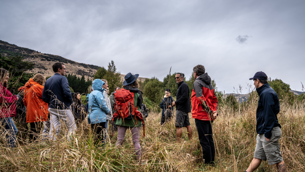
Scientists helping to create safer communities
News article21 October 2013 -
Scientists assess earthquake potential of faults close to West Coast
News article03 September 2013 -
2013 - Kaikoura tsunami risks
News article22 March 2013Surveying work carried out by NIWA scientists this week is helping provide new insights into the tsunami risk from undersea landslides in the Kaikoura Canyon. -

Oceans 20/20
Research ProjectThe Ocean Survey 20/20 (OS 20/20) programme aims to provide NZ with better knowledge of its ocean territory. -
NIWA maps Mt Tongariro ash cloud shortly after the eruption
News article07 August 2012These latest infra-red satellite images of ash clouds over New Zealand were created using the NOAA 18 and 19 satellites.
