-

Risk and vulnerability
Education ResourceRisks from natural hazards are part of every day life for New Zealanders. -
Riparian management classification
Management of stream riparian areas - including vegetation and stock access - influences the health of streams and downstream water bodies. -
Waves
Education ResourceThe waters around New Zealand have some of the highest waves in the world, due to Southern Ocean swell and storms in the Tasman Sea and Pacific Ocean. -
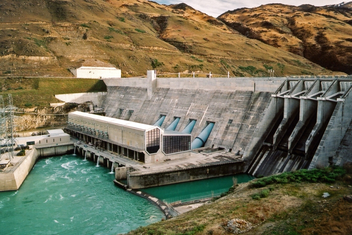
Water dams
Damming water for urban use, hydro-electric power generation, irrigation, and other industrial and commercial uses. -
Sea level rise and coastal inundation mapping of the Avon-Heathcote Estuary, Christchurch
Urban Infrastructure and the Built Environment Toolbox case study -

Coastal storm inundation
Education ResourceNew Zealand has low-lying coastal areas that are vulnerable to inundation (flooding) by the sea. -
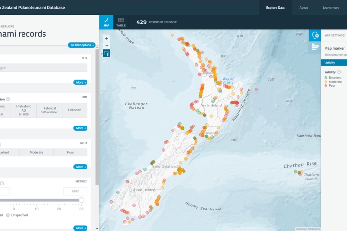
New Zealand Palaeotsunami Database
Software Tool/ResourceThe New Zealand Palaeotsunami Database (Database) brings together all known information about tsunamis that occurred prior to written records. -
Flood modelling of the Buller River, Westport
Urban Infrastructure and the Built Environment Toolbox case study -
Tsunami
Education ResourceTsunami is a Japanese word meaning great wave in harbour. -
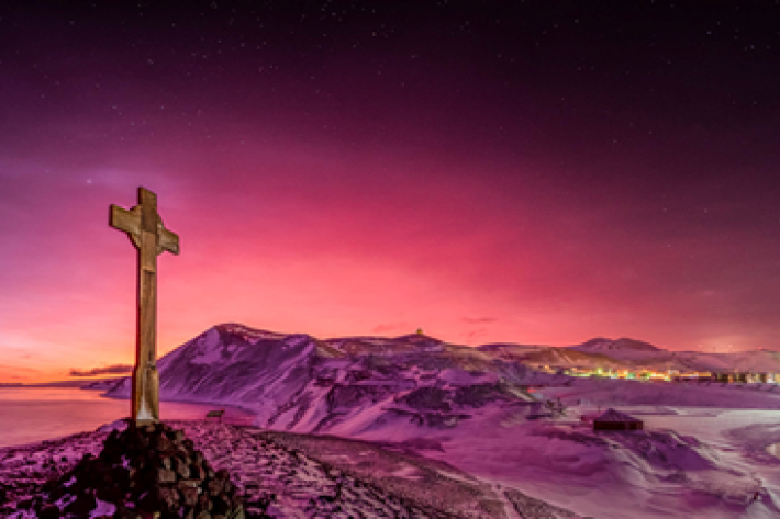
Tonga volcano “afterglow” causes dazzling skies in Antarctica
Media release06 June 2017Antarctica is experiencing stunning skyscapes like those recently seen in New Zealand, thanks to the afterglow effect from the Tongan volcano. -
Flooding - how does it happen?
Education ResourceUnderstanding what happens above and below ground during a flooding event, and how it is different from normal rainfall conditions