-

2017 - NOAA tsunami warning station
A tsunami reporting station situated in the Pacific Ocean that is currently off line is to be upgraded in a joint operation involving New Zealand and United States government agencies. -

Joining the flooded dots
Feature story08 October 2017The term “joined-up government” was coined in the late 1990s to describe the coordination modern governments need to deal with large problems. -

Flood focus
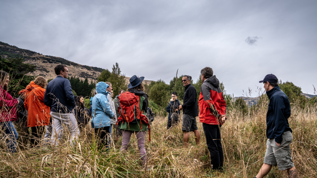
Feature story08 October 2017Autumn and winter rain caused damaging floods and slips across New Zealand, yet again. Susan Pepperell investigates the nation's evolving skill in avoiding and coping with water. -
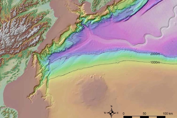
A wave of hazard research
Feature story05 October 2017It is well known that earthquakes can trigger tsunami but they can also be caused by landslides – with devastating effects. -

Q&A: going to sea for fresh water
Feature story05 October 2017Since the end of June, a barge has been stationed just off Wellington’s Miramar Peninsula drilling into the seabed to find an alternative water source for the city. -

On-call forecasting helps fight fires
Feature story05 October 2017For the past year, NIWA’s meteorologists have been on call to provide real-time, comprehensive information about weather patterns that may accelerate a fire. -

Kaikōura Canyon shows early signs of ecosystem recovery
Media release19 September 2017NIWA scientists have found signs of recovery in the Kaikōura Canyon seabed, 10 months after powerful submarine landslides triggered by the November earthquake wiped out organisms living in and on the seabed. -

Calculated risk
Feature story13 June 2017Imagine if you could foresee what would happen to your home in a severe flood or tsunami, and then work out how to prevent or reduce the impact before any such event occurred. -

NIWA invests $18 million in New Zealand’s future
Media release08 June 2017NIWA is placing the future of New Zealanders at the heart of its operation by investing in new supercomputers that will significantly enhance scientists’ abilities to solve crucial issues facing the country. -
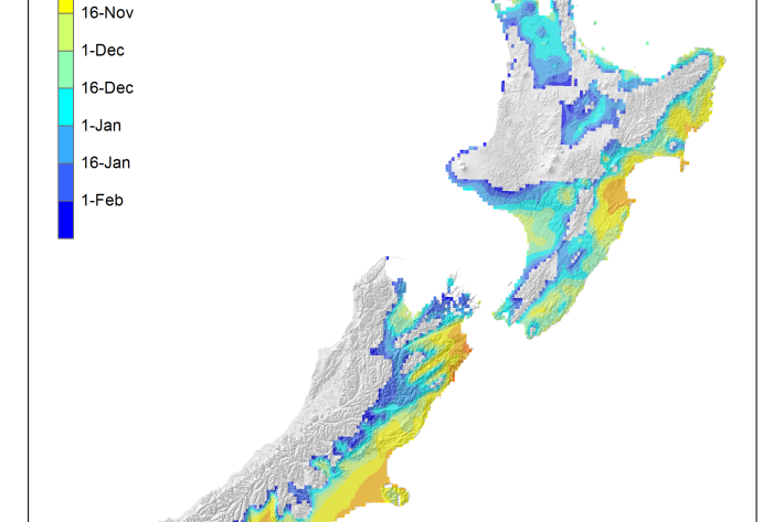
Average soil moisture deficit onset and termination maps
Maps of the average first and last dates of soil moisture deficit are shown here. -
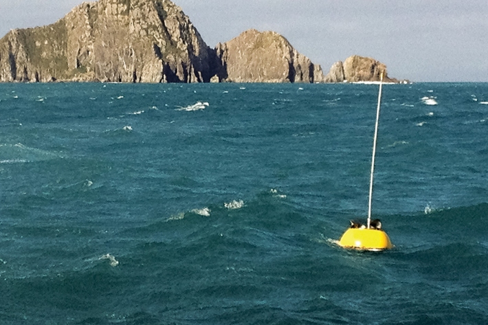
Wave action
Feature story06 June 2017New Zealand’s coast is sculpted by ocean waves. Some wave conditions bring joy to surfers and beachgoers, but, at other times, waves can cause major hazards at sea or along the shore. -

Cam-Era for You
Water Levels: Our Cam-Era installation on the Ashburton River overlooks a hapua or coastal lagoon. We know the exact location of several posts in the front of the image, and we can use these and the position of the camera to back-calculate the water level.
What Cam-Era can do for you
Every day we come up with new things that Cam-Era can monitor.