-
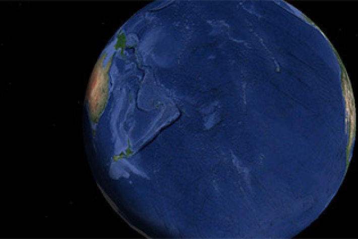
Seabed 2030
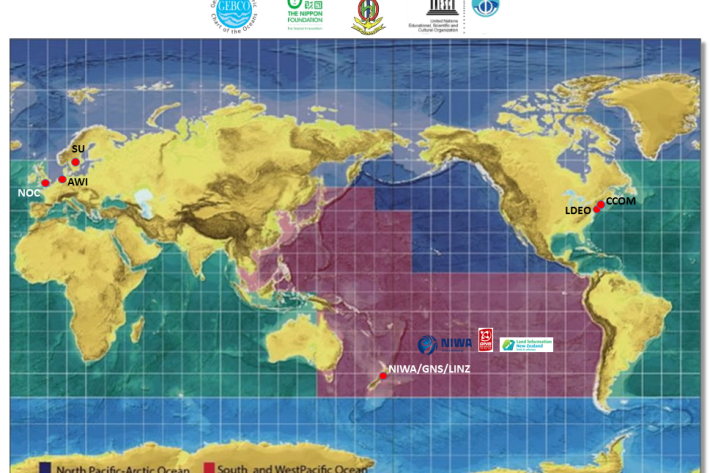
Research ProjectNIWA is leading a New Zealand partnership to map the South and West Pacific Ocean's seabed as part of a worldwide initiative to map the entire globe’s seafloor. -
Download Bathymetry Data
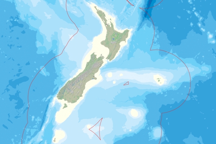
Software Tool/ResourceThis dataset provides the most up-to-date bathymetry of one of the largest areas of deep-water seabed under national jurisdiction. The 250m resolution gridded bathymetric data set encompasses New Zealand's Exclusive Economic Zone and is available in multiple high-resolution file formats to suit a range of imagery and mapping needs. -
NIWA unravelling impacts on marine life after Cyclone Gabrielle
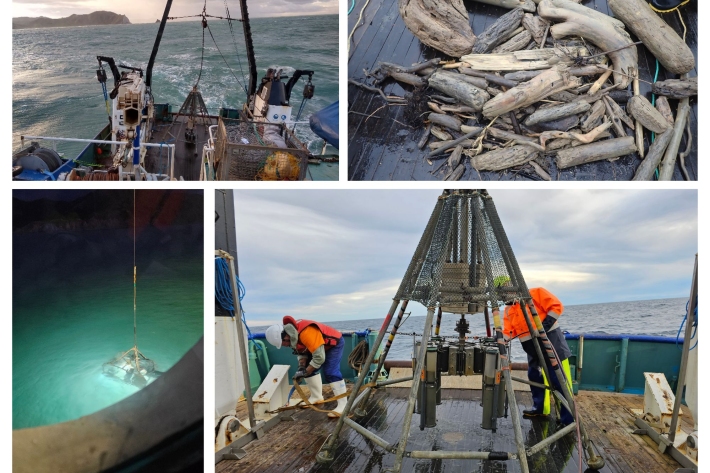
Media release03 October 2023NIWA are studying the ocean off Tairāwhiti and Hawke’s Bay to see how Cyclone Gabrielle has impacted the health of fisheries habitats and seabed ecosystems. -
Tonga eruption confirmed as largest ever recorded
Media release21 November 2022A New Zealand-led team has completed the fullest investigation to date into January’s eruption of the underwater Tongan volcano. -

Ocean services
ServiceHow can we help you? -
Hazards in the Tasman Sea
You’ll be blown away by what these women in science are up to onboard this RV Tangaroa voyage to the Tasman Sea. -
Mapping the oceans through citizen science
The Seabed 2030 South and West Pacific Ocean Data Center is one of four global Regional Centres, each being responsible for data gathering and mapping in their territory. -
Can sound be used to characterise gas composition in the water column?
Underwater gas bubbles acoustic monitoring and seabed mapping around Whakaari Island -
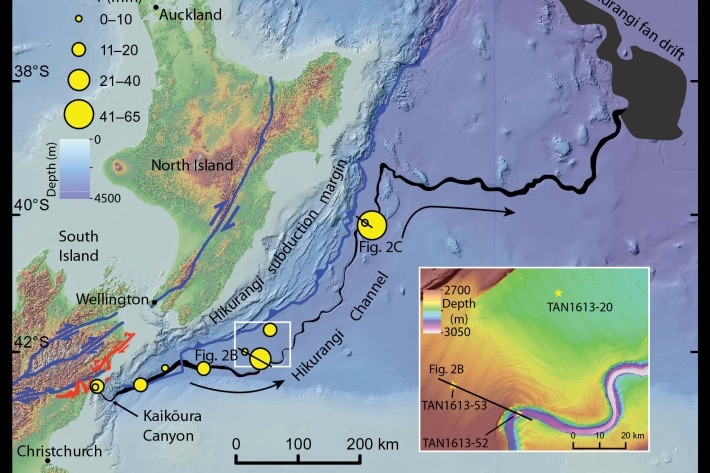
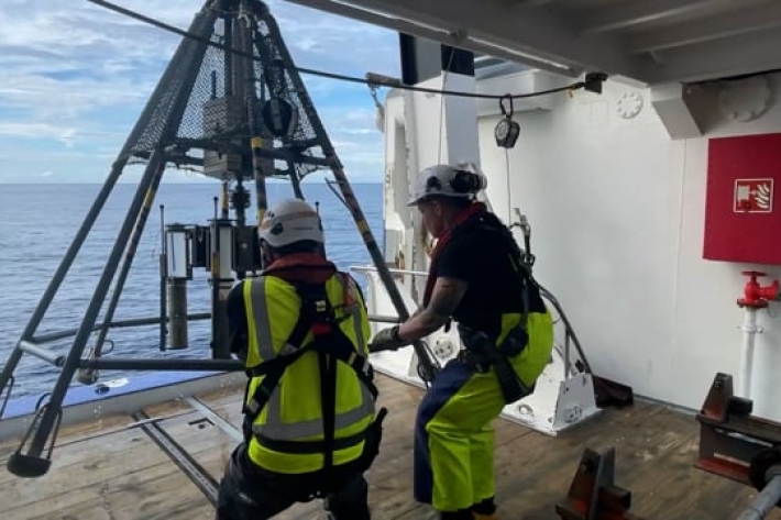
Kaikōura earthquake provides world-first insight into submarine canyons
Feature story17 October 2018Research conducted after the 2016, 7.8 magnitude Kaikōura earthquake has provided scientists with an extremely rare opportunity to understand the processes that shape submarine canyons. -
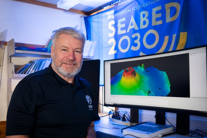
NZ scientists launch their part in bold project to map seafloor
Media release20 June 2018New Zealand’s contribution to an ambitious international project aiming to generate a definitive map of the entire ocean floor in less than 12 years, is being launched in Wellington tomorrow.