
-
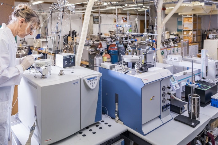
Stable Isotope Analytical Facility
ServiceNIWA's state of the art Stable Isotope Mass Spectrometry (IRMS) facility supports our research and commercial analyses, providing tailor-made solutions for various environmental and atmospheric questions. -
High-resolution climate projections using physics and AI
Research ProjectNIWA researchers are developing a physics-informed and artificial intelligence (AI)-driven method to vastly reduce the computer power needed to provide accurate climate change projections. -
Updated national climate projections for New Zealand
Research ProjectThe development of updated national climate projections for Aotearoa New Zealand was completed in 2024. -

High resolution drought forecasting
Research ProjectNIWA and the Ministry for Primary Industries (MPI) are working together to develop a new drought forecasting tool. -
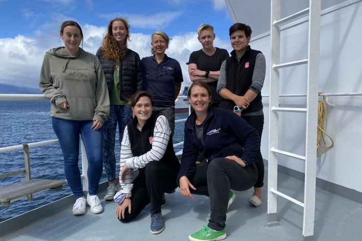
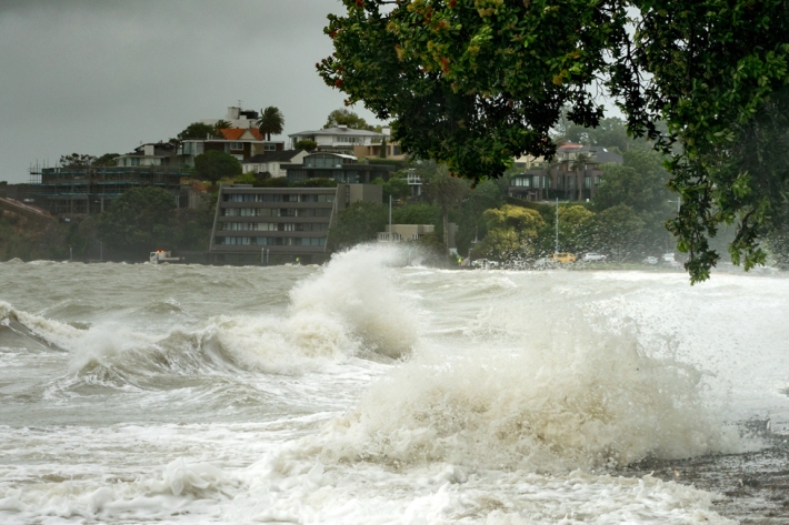
Tasman Sea tsunami - TAN2111
VoyageYou’ll be blown away by what these women in science are doing onboard RV Tangaroa in the Tasman sea! -

Forecasting weather systems
Research ProjectNIWA’s research into forecasting weather systems aims to increase the resilience of New Zealand communities to weather-related hazards. -

Online services
ServiceNIWA provides online access to major climate and environmental monitoring systems, databases and forecasting tools. -

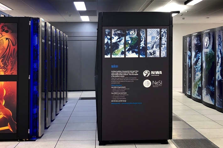
Unveiling Cascade: A $35 Million Leap Towards New Zealand's Technological Future
Media release27 August 2025New Zealand’s newest and largest supercomputer has produced its first weather forecast. -

New study reveals colossal scale of riverbank erosion during Cyclone Gabrielle
Media release25 August 2025Over 220,000 m3 of sediment was eroded from just 9.1km of Ūawa/Hikuwai riverbanks in Gisborne (Tairāwhiti). -

New Technology Enhances River Digital Networks for Improved Water Management
Publication article21 March 2025NIWA scientists have launched a groundbreaking initiative that is transforming mapping of freshwater environments. -

RotoTurf Suitability Decision Tool
Software Tool/ResourceA tool to support decision-making on the suitability of RotoTurf for your waterbody -

RotoTurf Macrophyte Species Selector
Software Tool/ResourceA tool to select aquatic plant species that will support restoration of degraded freshwater.