-
Sea levels
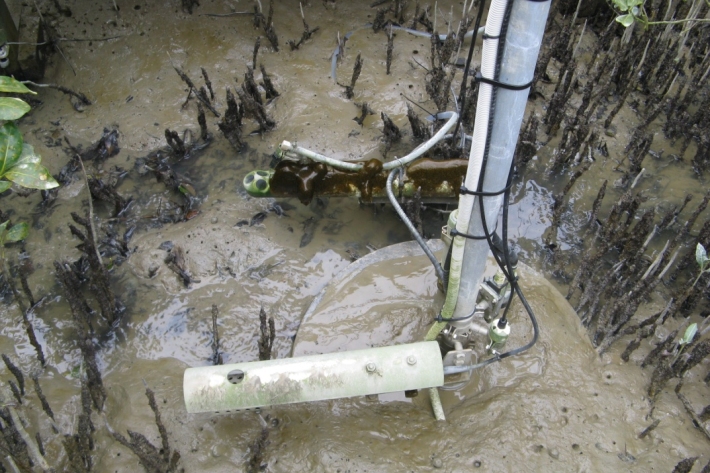
ServiceThis system combines daily sea-level data from NIWA, regional councils, port companies, Antarctica NZ, Bureau of Meteorology and territorial authorities. -

Canterbury Wave Conditions
Software Tool/ResourceNIWA run a computer model which simulates wave heights across the Canterbury continental shelf and along the coast. -
Download Bathymetry Data
Software Tool/ResourceThis dataset provides the most up-to-date bathymetry of one of the largest areas of deep-water seabed under national jurisdiction. The 250m resolution gridded bathymetric data set encompasses New Zealand's Exclusive Economic Zone and is available in multiple high-resolution file formats to suit a range of imagery and mapping needs. -
Urban Infrastructure and the Built Environment Toolbox
ServiceThis helps planners, engineers, asset managers, and hazard analysts in urban councils understand and evaluate the potential impacts of climate change. -
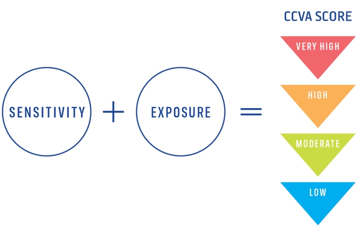
Climate Change Vulnerability Assessment (CCVA)
ServiceTo prepare for changes in climate, our freshwater and oceans decision-makers need information on species vulnerability to climate change. -
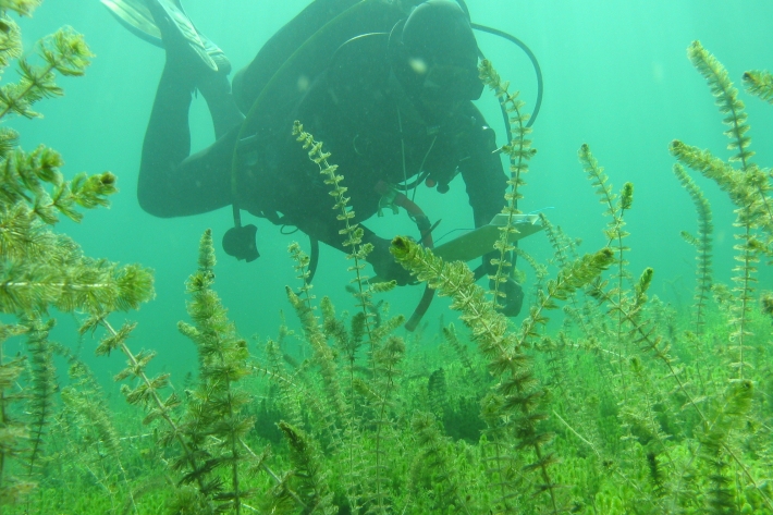
LakeSPI: Keeping tabs on lake health
Software Tool/ResourceFew New Zealand lakes retain their indigenous vegetation, and the condition of many lakes is under threat from land-use changes and the invasion of alien aquatic plants. -
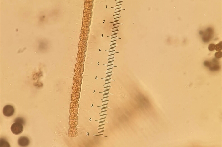
Algal monitoring service
ServiceBlooms of hazardous cyanobacteria (blue-green algae) in rivers, lakes and reservoirs can cause problems for both animal and human health. How can you find out whether an algal bloom is potentially toxic? -

Trace gas datasets
ServiceNIWA makes a range of trace gas data freely available on our FTP site. -
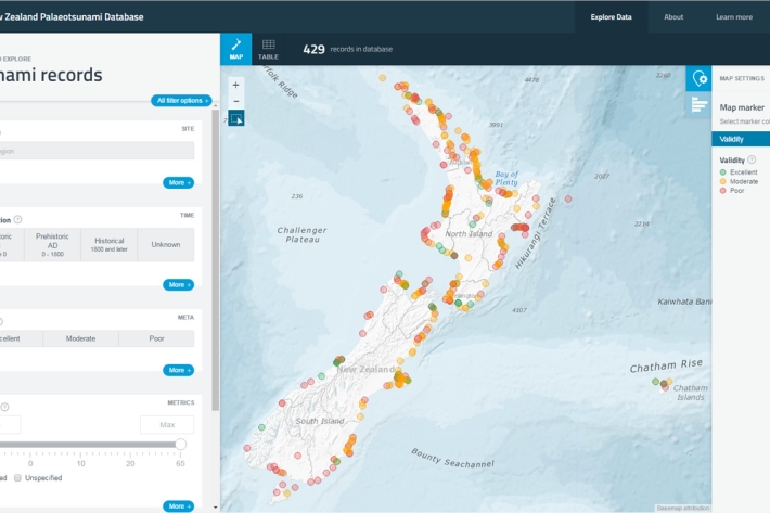
New Zealand Palaeotsunami Database
Software Tool/ResourceThe New Zealand Palaeotsunami Database (Database) brings together all known information about tsunamis that occurred prior to written records. -
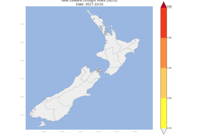
New Zealand Drought Monitor
ServiceThe New Zealand Drought Monitor is a system for keeping track of drought conditions across New Zealand based on a standardised climate index.