-
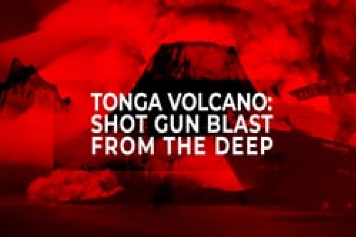
Tonga eruption and tsunami shock the world
The Hunga-Tonga Hunga-Ha'apai volcano generated the biggest atmospheric explosion recorded on Earth in more than 100 years. -
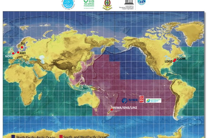
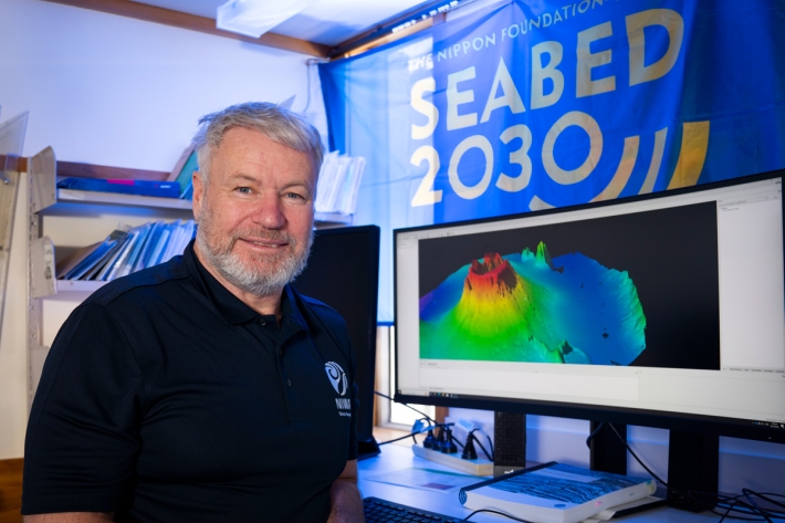
Seabed 2030
Research ProjectNIWA is leading a New Zealand partnership to map the South and West Pacific Ocean's seabed as part of a worldwide initiative to map the entire globe’s seafloor. -
Tonga eruption caused fastest ever underwater flow
Media release07 September 2023The 2022 Tonga volcanic eruption triggered the fastest underwater flow ever recorded. -

NIWA undertakes post-Gabrielle seabed mapping in Hawkes Bay
Media release18 April 2023NIWA scientists will be in Hawkes Bay this week to map the seabed to measure the effects of Cyclone Gabrielle -
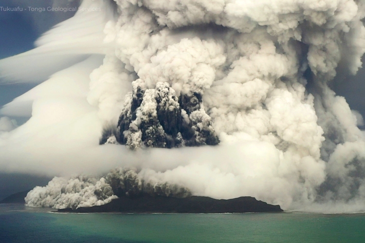
Tonga eruption confirmed as largest ever recorded
Media release21 November 2022A New Zealand-led team has completed the fullest investigation to date into January’s eruption of the underwater Tongan volcano. -
Tonga eruption discoveries defy expectations
Media release23 May 2022New findings from the record-breaking Tongan volcanic eruption are “surprising and unexpected." -
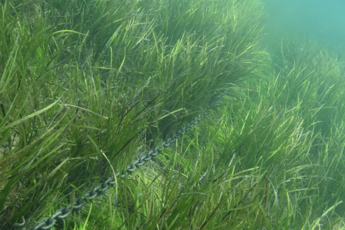
Anchors cause “extensive, persistent” damage to seafloor
Media release12 May 2022High-resolution mapping has produced the first ever global estimates of coastal habitat damage caused by anchoring. -
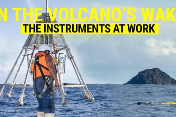
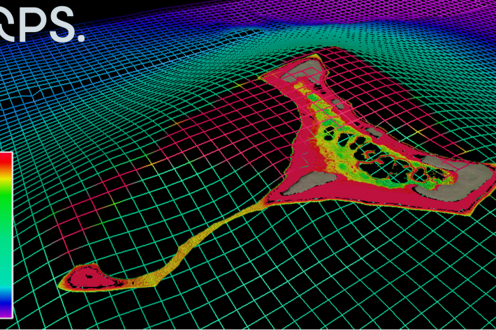
The instruments at work - In the volcano's wake
Our team onboard RV Tangaroa are equipped with all the tech and tools they need to explore the undersea changes caused by the devastating volcanic eruption in Tonga earlier this year. -
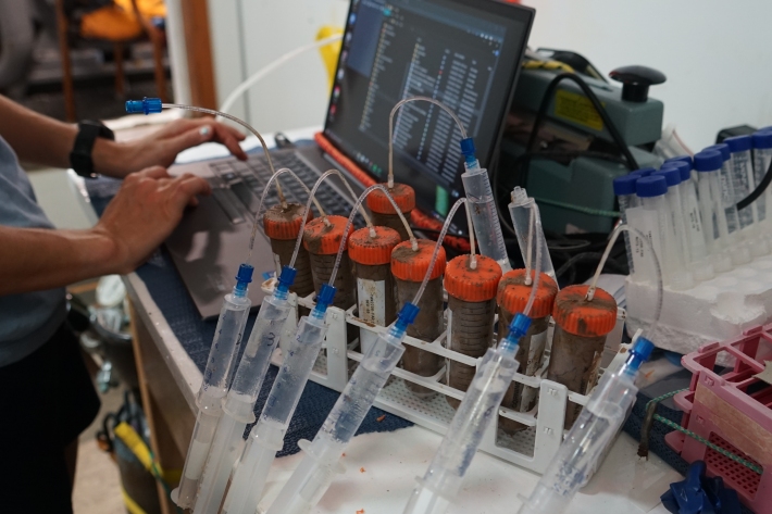
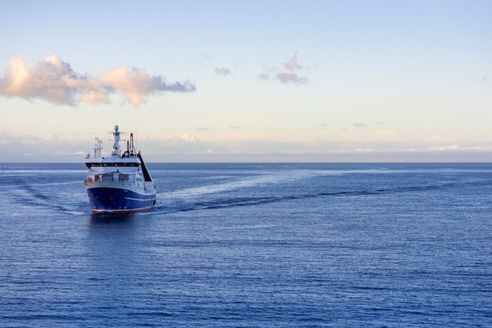
Voyage update - 24 April
We have sampled 11 stations today, with different pieces of equipment, starting with rock dredges on a ridge close to Hunga Ha’apai. The samples taken returned a trove of rock specimens that got the geologist onboard excited. -
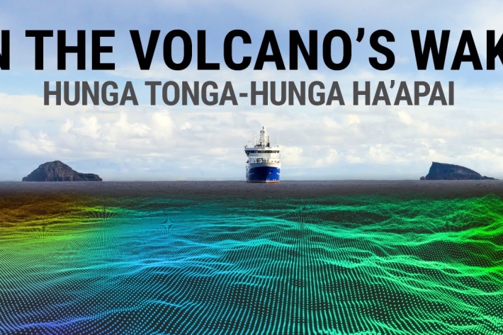
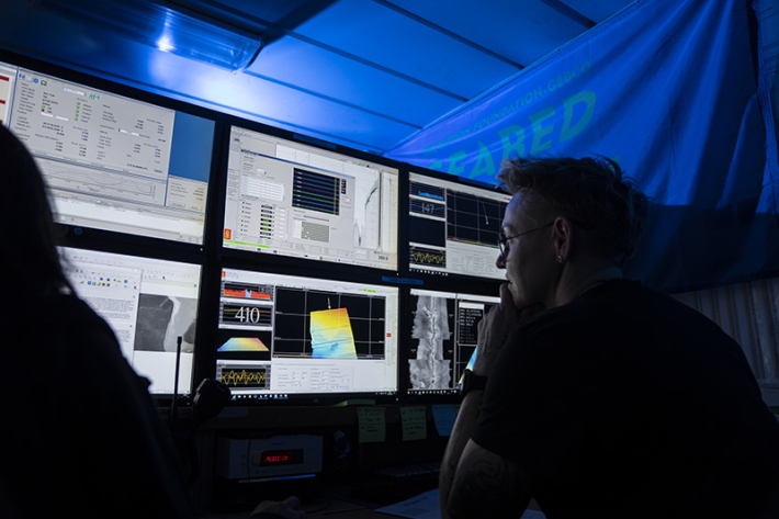
Mapping the Tongan eruption
The January eruption of the Tongan volcano Hunga Tonga – Hunga Ha’apai triggered tsunamis as far away as the Caribbean. NIWA scientists are onboard RV Tangaroa surveying the ocean around the volcano, working to understand the largest eruption of its kind since 1981 so they can help increase our knowledge about similar volcanoes around the world. -
NIWA-Nippon Seabed Mapping Project a “rare opportunity” to study effects of Tonga eruption
Media release01 April 2022NIWA and The Nippon Foundation are undertaking a mission to discover the undersea impacts of the recent Tongan volcanic eruption. -
Tropical seafloor secrets revealed
Media release25 February 2022NIWA scientists and Toitū Te Whenua Land Information New Zealand (LINZ) have used satellite technology to chart the Cook Islands’ seafloor in never-before-seen detail. The work was done as part of Seabed 2030 - a collaborative project to produce a definitive map of the world ocean floor by 2030.