-
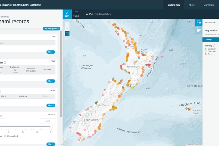
New Zealand Palaeotsunami Database
Software Tool/ResourceThe New Zealand Palaeotsunami Database (Database) brings together all known information about tsunamis that occurred prior to written records. -

Flood modelling of the Buller River, Westport
Urban Infrastructure and the Built Environment Toolbox case study -
Risk and vulnerability
Education ResourceRisks from natural hazards are part of every day life for New Zealanders. -
Flooding - how does it happen?
Education ResourceUnderstanding what happens above and below ground during a flooding event, and how it is different from normal rainfall conditions -
Waves
Education ResourceThe waters around New Zealand have some of the highest waves in the world, due to Southern Ocean swell and storms in the Tasman Sea and Pacific Ocean. -
Decision-Making Framework
A decision framework has been developed that provides for a balanced and justifiable prioritisation of sustainable adaptations to climate change and which is flexible to change. -

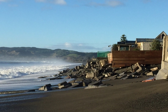
Coastal storm inundation
Education ResourceNew Zealand has low-lying coastal areas that are vulnerable to inundation (flooding) by the sea. -
Kiribati plans for climate change
-
Tsunami
Education ResourceTsunami is a Japanese word meaning great wave in harbour. -
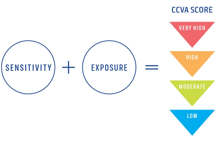
Climate Change Vulnerability Assessment (CCVA)
ServiceTo prepare for changes in climate, our freshwater and oceans decision-makers need information on species vulnerability to climate change. -
Scientists set to delve into the secrets of the Cook Strait mega-canyon
News article06 June 2017 -
Sea levels
ServiceThis system combines daily sea-level data from NIWA, regional councils, port companies, Antarctica NZ, Bureau of Meteorology and territorial authorities.