1 / 5
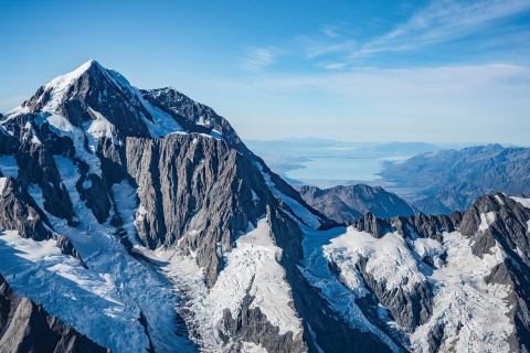
Aoraki/Mt Cook with Lake Pukaki in the distance. [Photo: Dave Allen]
2 / 5
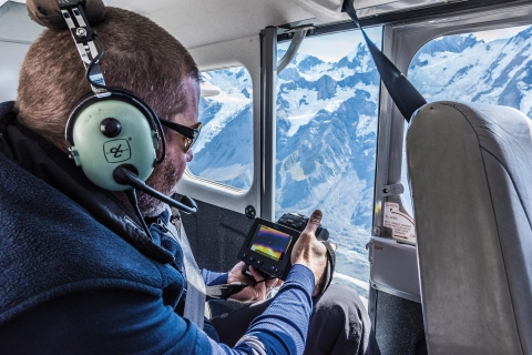
Safely harnessed into position, NIWA's Dr Andrew Lorrey points an FLIR T640 infrared camera out of the open cabin door towards the Tasman Glacier to gather thermal data on the glacier ice, meltwater and the debris cover. [Photo: Dave Allen]
3 / 5
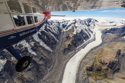
High above one of New Zealand's most famous glaciers - the Tasman. Since 1990 the ice has retreated an average of 180 metres per year. Tasman Lake at the terminus of the glacier is a result of the glacier's decline – before 1973 it did not exist. [Photo: Dave Allen]
4 / 5
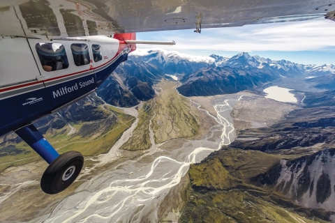
Melt water flows swiftly down the Tasman River towards Lake Pukaki. Water from this river is used for hydroelectric power generation, irrigation and recreation. What happens when the contribution from seasonal snow and ice melt changes in a warmer world? [Photo: Dave Allen, NIWA]
5 / 5
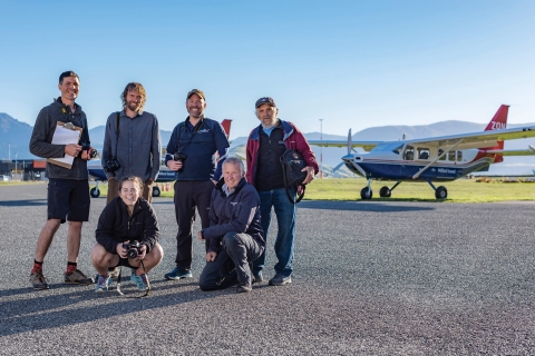
The end of summer snowline survey team from NIWA, Victoria University, Alpine and Polar Processes Consultancy, and Milford Sound Flights. Left to right – Dr Huw Horgan, Dr Brian Anderson, Lauren Vargo, Dr Andrew Lorrey, Andy Woods and Dr Trevor Chinn. [Photo: Dave Allen, NIWA]