-
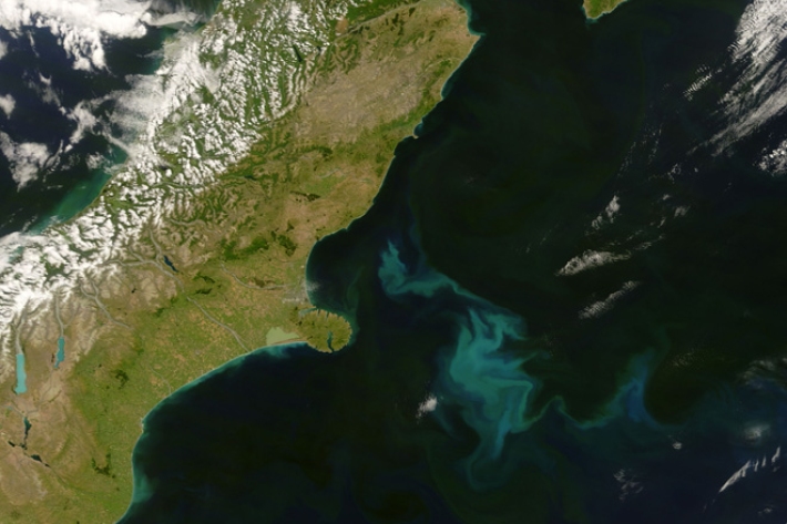
Remote sensing of phytoplankton biomass and productivity
Research ProjectSatellite images can be used to measure phytoplankton biomass in the ocean around New Zealand in order to understand ocean ecosystems, fish populations and greenhouse gas absorbtion. -
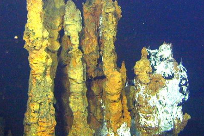
Deepsea minerals of the Kermadec Ridge - geophysical prospectivity and environmental impacts
Research ProjectA survey of valuable ore deposits and ecosystems along the volcanic Kermadec Ridge north of New Zealand, designed to inform both potential development and management of seabed resources in the area. -
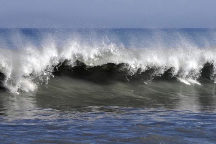
NZ SOLAS (Ocean–Atmosphere Interactions)
Research ProjectThis research aims to provide better predictions of changes in the ocean and climate system, particularly the way in which the ocean around New Zealand regulates greenhouse gases and clouds. -

Ancient isopods: conservation status of New Zealand phreatoicid isopods
These endemic freshwater crustaceans are truly living fossils that originated in Gondwana at least 325 million years ago and have changed little morphologically since that time. -
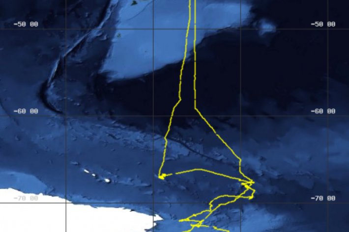
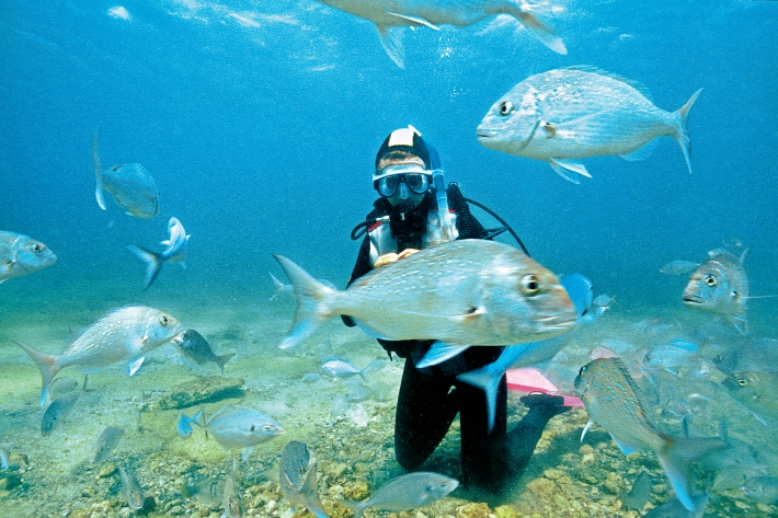
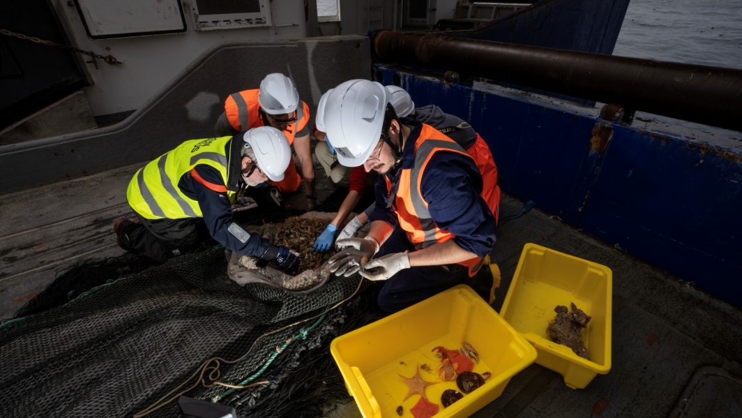
New Zealand IPY-CAML project
New Zealand conducted a major biological survey of the Ross Sea, in the Antarctic, as part of the Census of Antarctic Marine Life (CAML) and International Polar Year (IPY). -
Flow Cytometer
NIWA's Becton Dickinson FACSCalibur flow cytometer supports a wide range of research and commercial applications. -
Frequently Asked Questions
1. How do I get a copy of the MEC?
Ministry for the Environment (MfE) has distributed copies of the MEC to all levels of national and local government, as well as to government departments and agencies. If you work for one of those agencies, then you will have a copy; check with your IT department. Otherwise, copies of the DVD can be obtained from Kirsty Johnston at MfE ([email protected]).
2. What are the system requirements for the MEC?
The MEC is delivered as GIS layers in ESRI shapefile and grid format. -
Marine Environment Classification
ServiceThe Marine Environment Classification (MEC), a GIS-based environmental classification of the marine environment of the New Zealand region, is an ecosystem-based spatial framework designed for marine management purposes. -
Invasive sea squirt (Styela clava) fact sheet
Styela clava at Viaduct Harbour, Auckland, New Zealand. -
Other research instruments
ServiceScientists across NIWA use specialist tools manufactured across the world to perform their research and environmental consultancy.