-
Flood-harvesting effects on braided river geomorphology
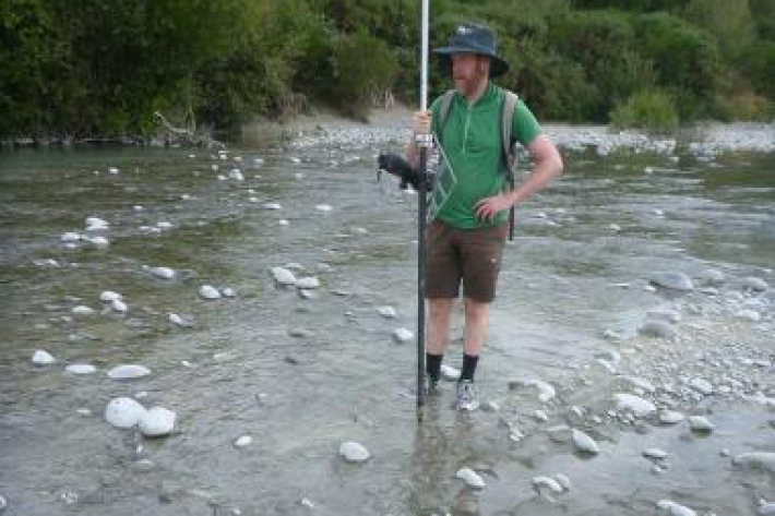
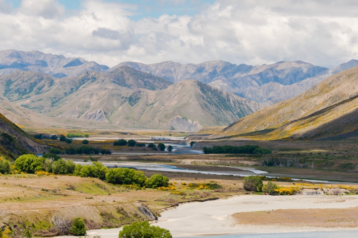
Research ProjectThe alp-fed braided rivers of Canterbury are treasured for their landscape, recreational amenities, salmon- and trout-fishing, and unique riverine environments – which provide habitat to a host of endangered birds – but they are under threat from land-use intensification and a growing demand for irrigation water. -
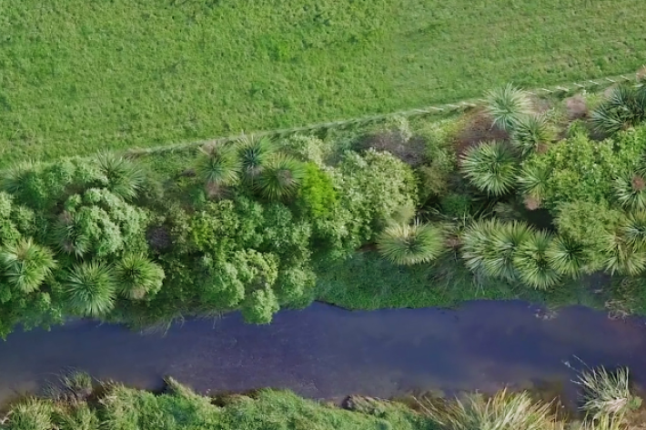
Braided river morphodynamics and invasive exotic vegetation
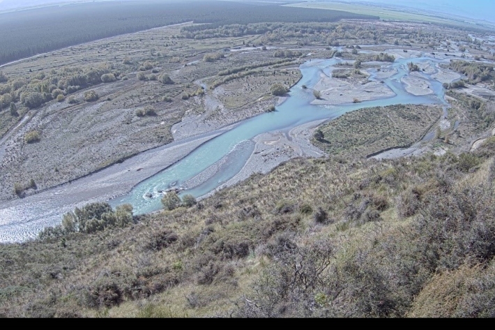
Research ProjectBraided rivers are an arena where woody weeds and floods are in constant competition with each other.
Braided rivers naturally flood frequently, repeatedly mobilising their bed sediments and shifting their multiple channels. -
Plastic pollution processes in rivers
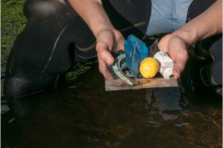
Research ProjectMost of the plastic in the ocean originates on land, being carried to the estuaries and coasts by rivers. Managing this plastic on land before it reaches the river could be the key to stemming the tide of marine-bound plastics. The aim of this project is to understand the sources and fate of plastic pollution carried by urban rivers using the Kaiwharawhara Stream as a case study. -
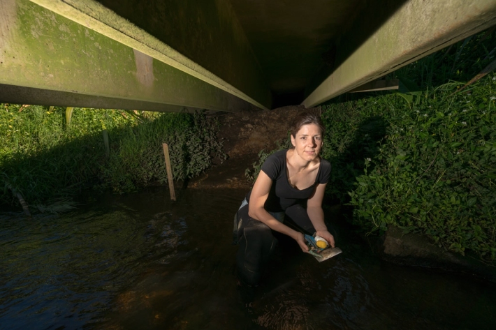
Scientist collects rubbish to rid rivers of plastics
Feature story16 January 2019It may be rubbish to everyone else, but to Amanda Valois each little scrap of plastic on a river bank or in a waterway tells a valuable story. -

NIWA scientist throws light on the Red Zone
Feature story21 December 2018Christchurch’s Red Zone is to be the focal point of a scientific experiment involving street lights and insects over summer. -
Fish Passage Assessment Tool
The Fish Passage Assessment Tool has been developed to provide an easy to use, practical tool for recording instream structures and assessing their likely impact on fish movements and river connectivity. -
River forecasting: capabilities versus user requirements
Research ProjectCurrently there are gaps in understanding of user decision making processes and public needs and requirements for river forecasting in New Zealand. This project aims to bridge NIWA river forecasting aspirations and capabilities with both the public and decision makers’ requirements. -

New Zealand River Maps
NZ River Maps is a simple, yet flexible, web-based tool that allows users to map and interrogate estimates for over 100 freshwater variables for the entire national river network. -

Underwater footage shows exceptional clarity of Te Waikoropupū Springs
Media release25 May 2018On the bottom of New Zealand’s largest freshwater springs is an underwater garden of vivid green, pinks and inky blues. -
Summer Series 2017 - A day out measuring at Molesworth
Feature story02 January 2018As the road behind Hanmer Springs turns to gravel and a dust cloud forms in the rear vision mirror, the southern edge of Molesworth Station unfolds. -
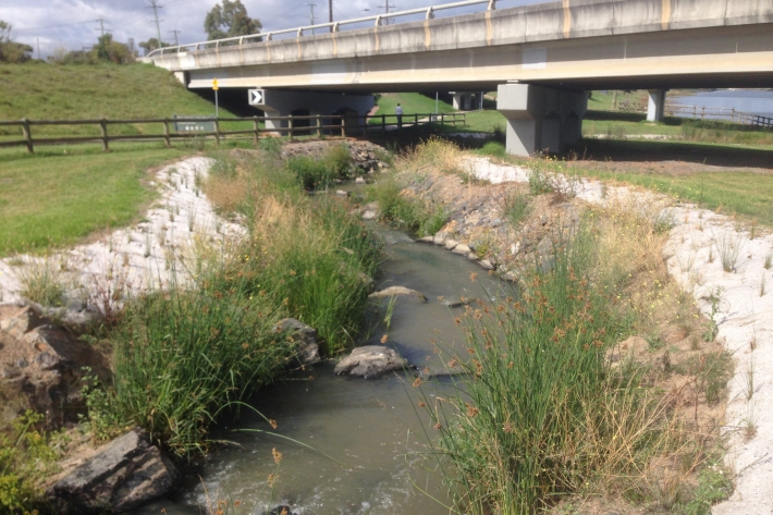
National riparian restoration database project
Research ProjectNIWA is undertaking a five-year nationwide study to find out how different approaches to riparian planting influence water quality improvements and to provide better guidance to the people and groups undertaking stream restoration.
