A two-year mapping project by NIWA for the West Coast Regional Council to assess seismic hazards in its coastal communities has found fault lines capable of causing earthquakes up to magnitude 7.8.
The research fills a void of information in the region, and will provide information to update the New Zealand National Seismic Hazard Model led by GNS Science. The model combines prehistoric and historic earthquake information to estimate where and how often earthquakes take place.
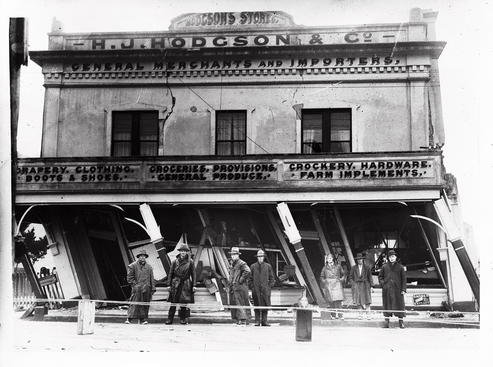
The West Coast has seen two of New Zealand's strongest earthquakes in the last 84 years: the 1929 Murchison earthquake measuring 7.8, and 1968's Inangahua earthquake which hit a magnitude of 7.1.
NIWA Marine Geologist Dr Philip Barnes says that the oil industry has collected a wealth of data on the fault lines, but the NIWA-led research into the earthquake potential of these faults was a first.
"NIWA's report confirmed that the major faults are parallel to the West Coast and are within 30km of shore. They range in length from 10km to 120km, and are expected to generate earthquakes ranging in size up to magnitudes 6.4 to 7.8.
"The positive element we found in the analysis is that earthquakes of these magnitudes would only occur once every 7500 to 30,000 years on any individual fault, so large earthquakes are expected to be very infrequent.
"We are one step closer to addressing tsunami risks for the West Coast, and this research will support further studies into potential earthquake risks," says Dr Barnes.