RV Tangaroa voyage update
Tangaroa is continuing to survey the area, now moving further away from the Hunga Tonga - Hunga Ha’apai volcano (HT-HH).
28 April 2022
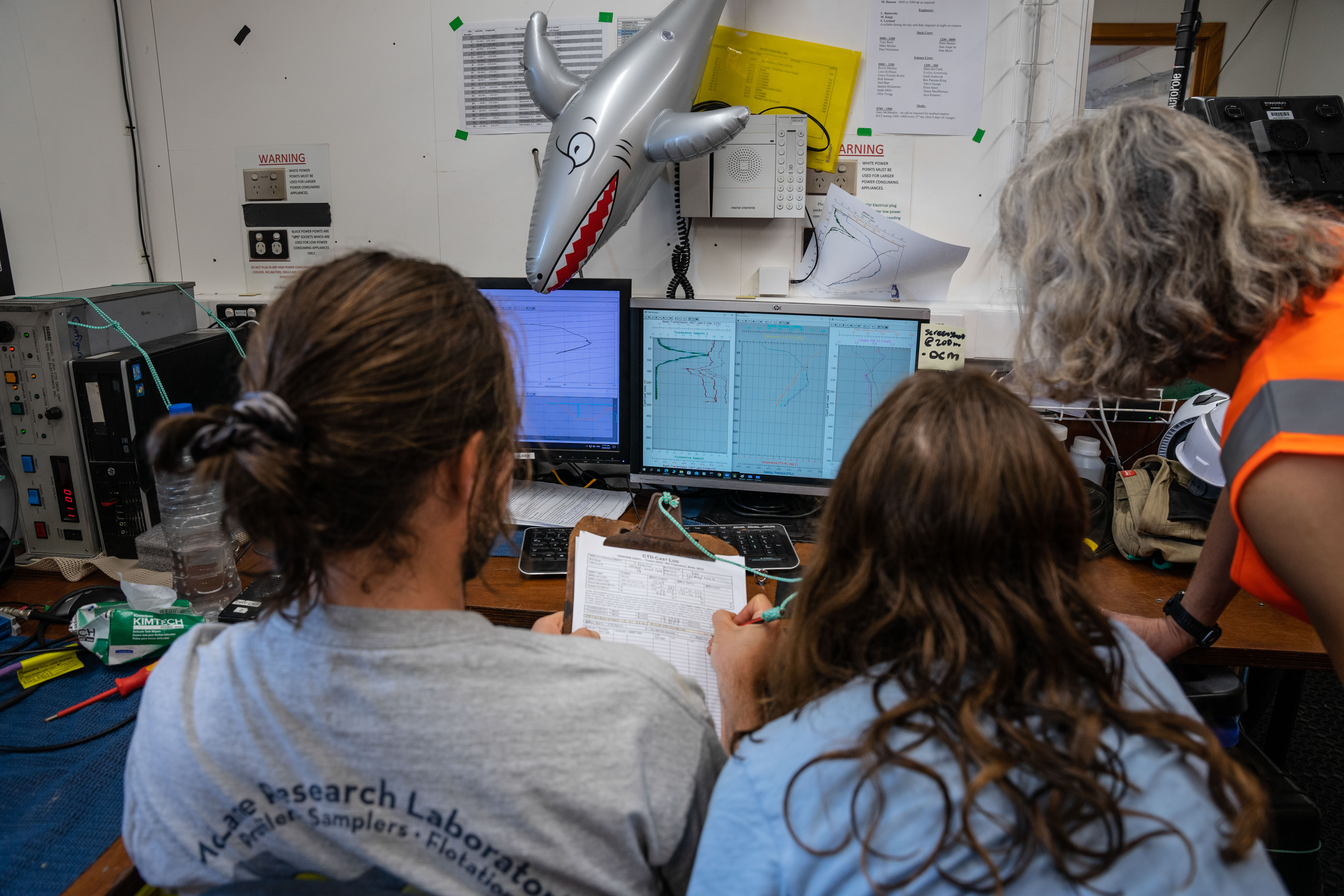
This morning, Tangaroa deployed the CTD (Conductivity Temperature Depth profiler) in an area previously visited on April 21st. This was followed by three deployments of the multicorer that returned a lot of “watery” ash from the local seafloor, along with some solid samples that will both be used to analyse the sediments present at this site.
By early evening, Tangaroa had moved 75 km to the south-west of HT-HH. Imagery from the Deep Towed Imaging System still showed a desert-like seafloor of fine-sand and mud with very little signs of life. However, the multicorer captured some good solid cores of seafloor material that will be analysed to see if the sediments are from the HT-HH eruption.
We completed our sampling at this site during the night and are currently heading to our next study site, located 100 km from HT-HH.