NIWA’s deepwater research vessel Tangaroa, set off early in January for a six-week trip to Antarctica, sailing as far south as 76° 30’ – just 30km short of Tangaroa’s southernmost voyage.
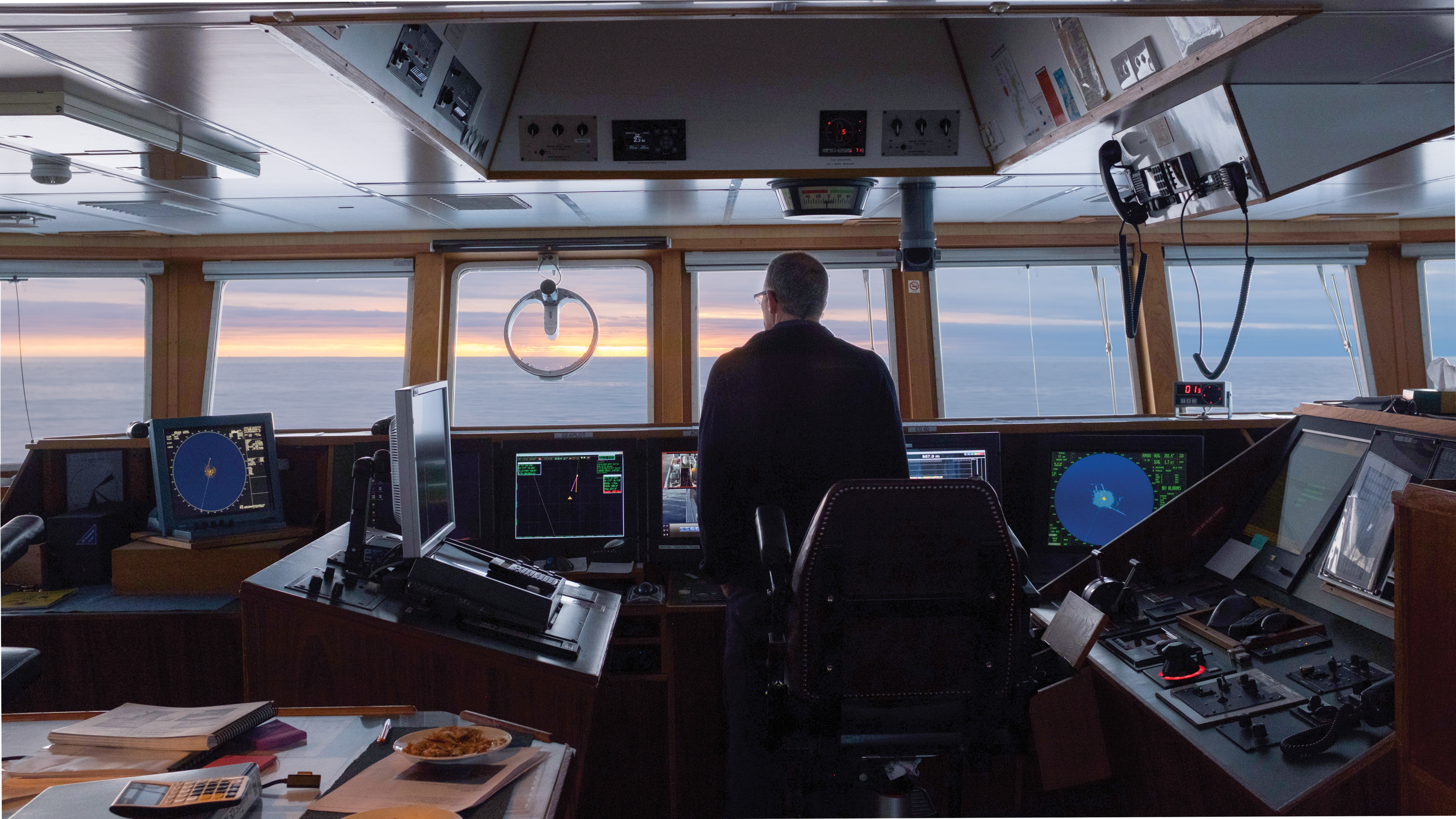
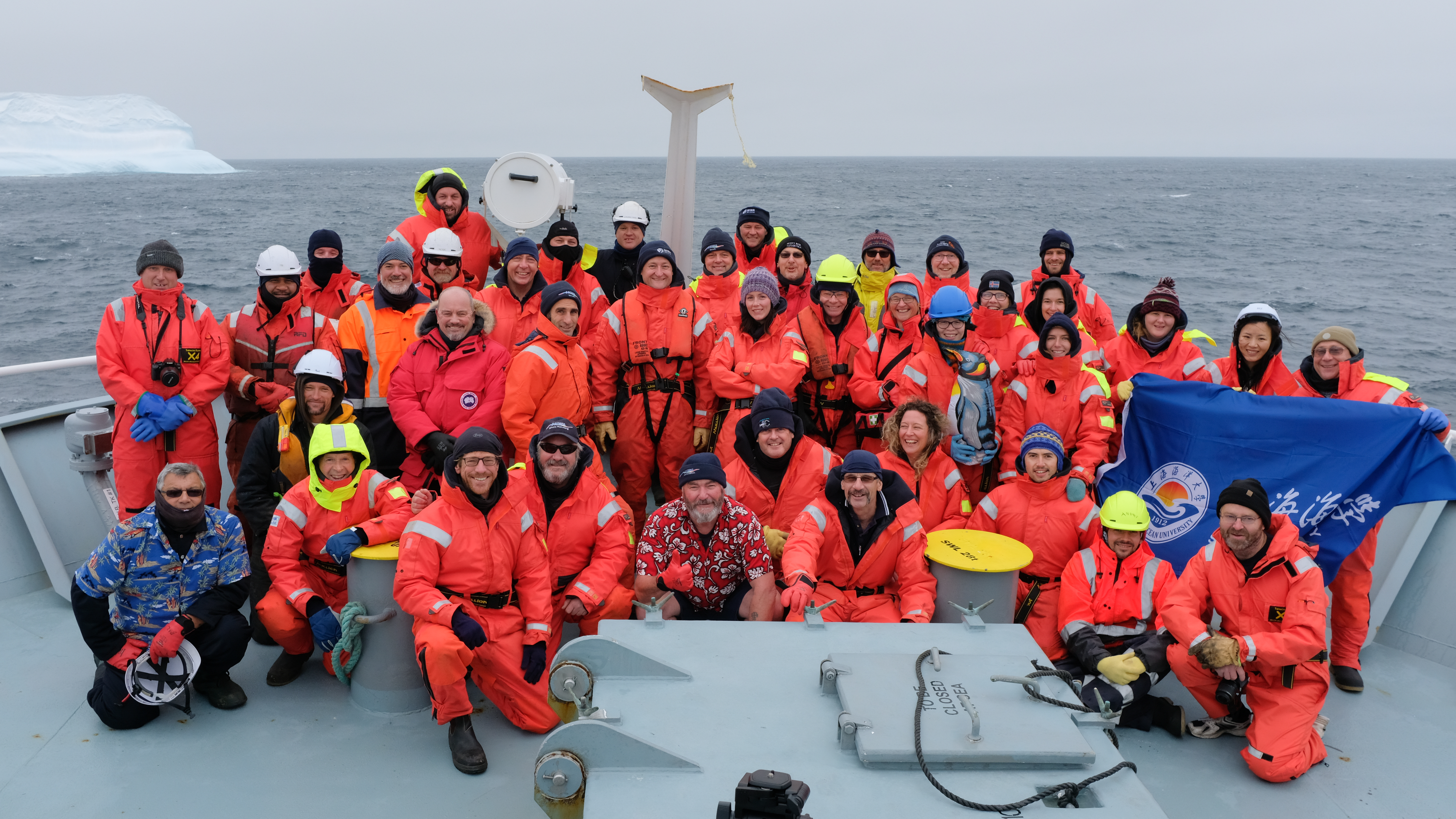
Working amongst ice floes, strong winds and heavy swells, the 21 New Zealand and international scientists and 19 crew faced a daunting research schedule. Their primary focus was setting up long-term monitoring programmes for the newly-created Ross Sea Marine Protected Area (MPA).
Data collected by Tangaroa’s scientists covered whale, fish and plankton abundance, seabed samples and oceanographic and atmospheric conditions. It will provide the crucial baselines needed to assess the MPA’s future impact.
“New Zealand has a commitment to playing a leading role in monitoring the MPA, and this voyage is a key contribution,” says voyage leader and NIWA Principal Scientist Dr Richard O’Driscoll.
“Data collected on the voyage will also build New Zealand’s reputation for research into atmosphere and ocean circulation processes.”