Inhabitants of the Marshall Islands may not be able to avoid drought, but thanks to a new tool co-developed by NIWA they can now plan ahead to better manage water resources when the big dry looms.
The drought tool, embedded as a module within the RiskScape hazard modelling software, forecasts the state of the archipelago's water resources based on expected rainfall and climate outlook. This is provided by the Marshall Island’s meteorological service to the Disaster Management Office, who runs the tool.
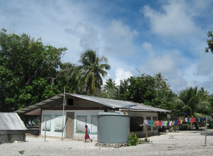
Climate Scientist Juli Ungaro project-managed development of the MFAT funded tool with the NIWA RiskScape team. She says atolls are vulnerable to drought because of low-lying landmass and limited groundwater. For drinking water, they rely almost exclusively on rainfall.
“The drought tool helps the Marshallese plan ahead for water shortages, so they can look at short-term response options and long-term actions to make water resources more sustainable – such as deploying reverse osmosis (desalination) units on atolls with water shortages.”
Climate change will bring more uncertainty around where and when drought may happen. What is known is that naturally occurring El Niño and La Niña climate cycles have an influence. El Niño, for instance, usually means a higher likelihood of drought for the Marshall Islands.
Development of the tool involved stakeholder meetings to understand the Marshallese’ requirements. A prototype was developed for three of the country’s 34 islands. That was presented to officials for feedback and formally handed over in June this year.
Feedback has been positive, so much so that other Pacific Island nations have expressed an interest in having the drought tool for their own local situation.
At this stage, the tool is being used to estimate future water resources on Utirik, Wotje and Kwajalein Atolls. It will be available through the MFAT-funded PARTneR project for a further seven atolls by June 2019.
With PARTneR, customised case studies within the RiskScape software programme are being developed for risk-informed decision-making across the Pacific Islands.