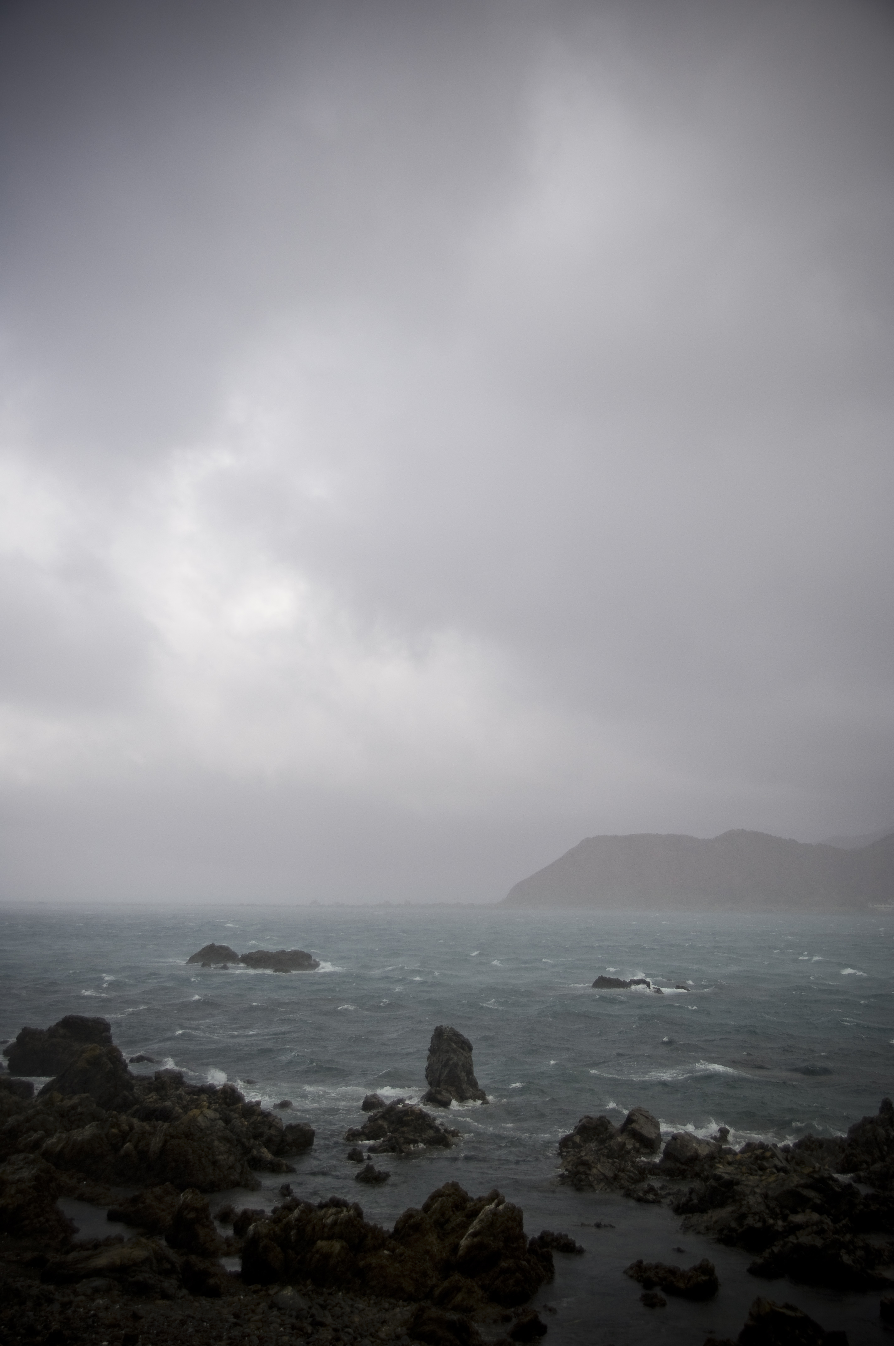
We all know it can get pretty windy in New Zealand.
In the past few years, severe winds have caused destruction in many places: Taranaki was torn by tornadoes in 2007, downslope winds with gusts of 160 kilometres per hour wreaked havoc in Greymouth in 2008, and in March 2010 a severe front, with gusts of 220 km/h, caused considerable building damage in the Wellington Region.
But there is still a lot to learn about how the terrain affects wind speed and behaviour. Over the next few months scientists from NIWA, GNS Science, Opus International Consultants, and the University of Auckland, will be probing the wind in Belmont Regional Park near Wellington, to investigate wind 'speed-up' effects around the hills in one or two strong north-westerly events.
Measuring windspeeds -on the hill and in a tunnel The team will use up to ten portable anemometers on five-metre-high masts, five anemometers on an existing 70-m mast, and two SODARs (acoustic sounders that produce a vertical profile of the wind conditions) to investigate wind 'speed-up' effects in the lowest 100 metres or so of the atmosphere at Belmont Regional Park. The observations on the hill will be compared with estimates from Opus International Consultants' wind tunnel, and numerical simulations by the GERRIS computer model, developed by NIWA scientist Stephne Popinet.
The data generated will be used to test the validity of topographic multipliers applied to allow for wind acceleration effects within our current building code. The research team is confident that the results will have potential application to building designs both in New Zealand and overseas, where similar acceleration allowances (based on very sparse data) have been used. The research will also provide an appreciation of the benefits and limitations of the two different modelling techniques (GERRIS and the wind tunnel).
Hazard mitigation and wind-turbine siting
The work has significance in other areas too. As well as providing information for the building codes, results will feed into RiskScape, a regional multi-hazard tool being developed by NIWA and GNS Science.
There is also interest in applying the results to the siting of wind turbines because small spatial differences in turbine location can result in significantly different wind energy production. Making detailed wind observations in the field is time consuming and expensive, so it is worth investigating the accuracy of alternative wind-tunnel or computer-model-generated wind flows.
The Belmont Regional Park field measurement phase of the project is scheduled to be completed during the first quarter of 2011. This will be followed by the modelling and simulation phases (second quarter), and an evaluation phase with the project scheduled for the latter part of 2011.
Funding for this project has been provided by the Foundation for Research Science and Technology as part of the new Natural Hazards Research Platform.