New Zealand is losing about 192 million tonnes of soil a year, according to the to report Our Land 2018 from the Ministry for the Environment and Statistics NZ. It says that New Zealand contributes about 1.7% percent of the sediment delivered to the world’s oceans annually due to soil erosion, even though the country accounts for just 0.2% of global land area.
Most of the lost soil resulting in sedimentation is a consequence of earlier natural erosion. However, over 40% of the soil entering our rivers comes from pasture land.
According to Dr Andrew Swales, an estuarine physical processes scientist who leads NIWA’s Catchments to Estuaries programme, New Zealand is particularly susceptible to erosion due to the country’s steep lands. They have higher erosion potential due to their geology, steep slopes and high-intensity rainfall.
It’s a potent mix: in many places with highly erodible sedimentary rocks, earthquakes destabilise the hillslopes, and rain triggers slope failure and landslides.
While soil erosion and sedimentation are natural processes, their rates have increased markedly following the human settlement of New Zealand and subsequent deforestation. Present-day land-use practices have further increased erosion potential in New Zealand.
"We're losing about 192 million tonnes of soil a year.
Prior to human settlement, sedimentation rates in our estuaries were typically much less than 1mm per year on average. As catchments were deforested, the average sedimentation rates increased 10-fold.
“Typical rates in upper North Island estuaries over the last century are in the order of 2–5mm per annum,” says Dr Swales.
The result of this accelerated sedimentation has been the formation of intertidal mudflats in place of the sandflats that characterised many estuaries prior to catchment deforestation. These rapidly accreting mudflats have been colonised by mangroves, where shellfish previously lived.
“It’s a double whammy,” he says. “We’re losing productive soils from the land, and these eroded soils are having adverse effects in estuaries.”
Known as the “universal contaminant”, some of the most damaging effects of fine sediments accumulating in our estuaries are related to clays that are less than 4 microns in diameter.
“They’re the most effective at decreasing sunlight and they reduce the visual clarity of the water. Many predatory species, including fish and birds, are visual predators, says Dr Swales.
Fine sediments carry other contaminants with them, including heavy metals, organic contaminants from stormwater runoff, and pathogenic microbes.
“In rural settings the fine sediments carry phosphorus with them as well.”
Erosion can be reduced by changing the type or scale of land use or adopting practices to mitigate losses. But before we can do that, we need to work out which land uses are responsible for the sediment losses.
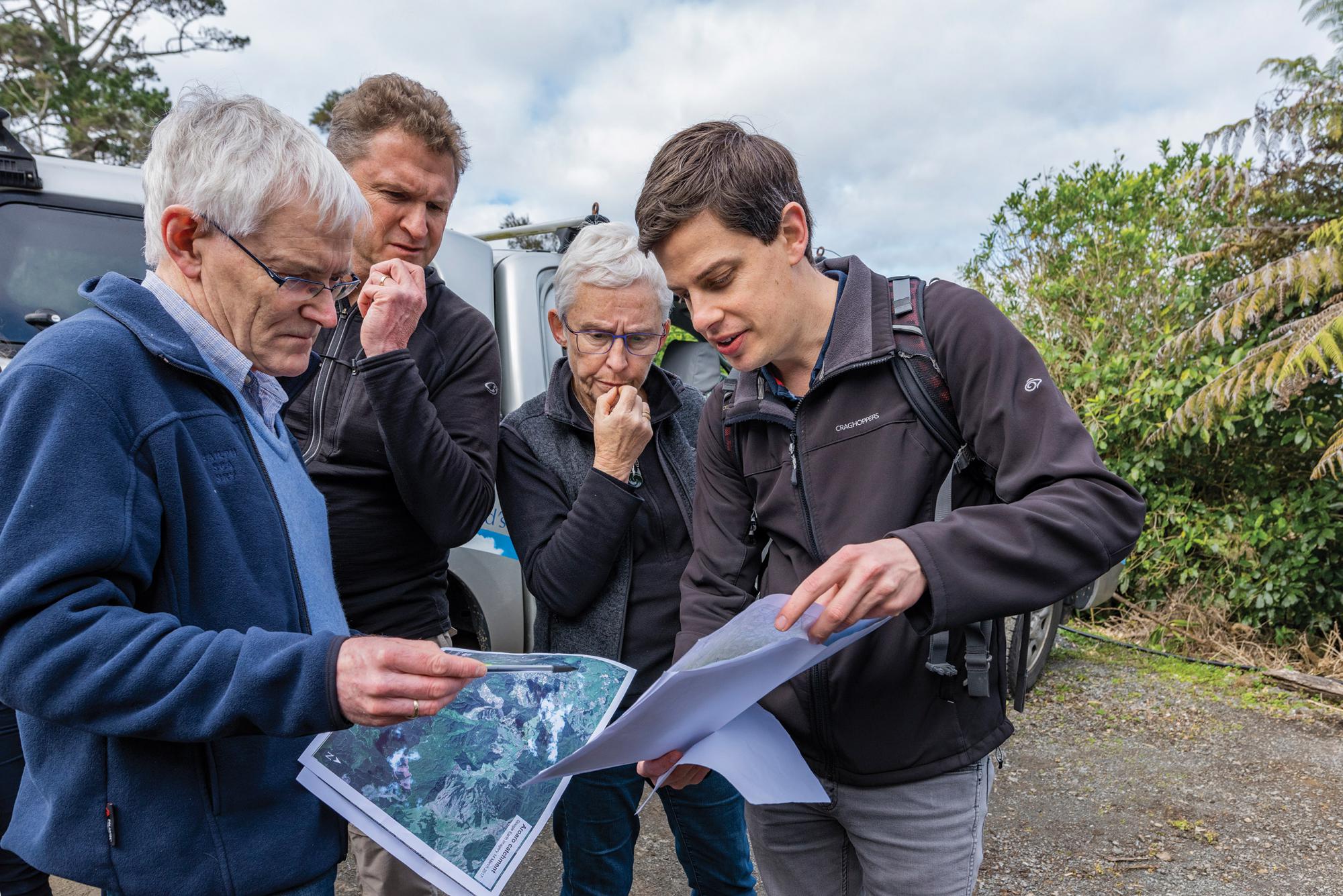
Tracing sediment
Dr Swales says one way to trace the sources of fine sediments is by using stable isotopes. These are non-radioactive forms of atoms found in almost all of the first 80 elements in the periodic table. They are used as ecological recorders, to trace water sources, food sources, and even counterfeit money.
Dr Swales's colleague, emeritus scientist Dr Max Gibbs, was the first person to use compound-specific stable isotopes (CSSI) to trace the sources of fine sediments.
The basis for CSSI is: All organisms produce fatty acids. Plants secrete fatty acids into soil. The fatty acids of different plant groups (such as native trees, forestry pines, grasses and food crops) typically have different ratios of two carbon isotopes, 12C and the slightly heavier 13C.
These isotopic signatures can still be found in sediment, which means you can identify sediment by the land use from which it originated.
“When you collect a sediment sample from an estuary, lake or river, it has come from a mixture of sources,” says Dr Swales. “We analyse samples for their stable isotopic signature, and use a model to unmix that mixture. That allows us to apportion the average contribution of different plant communities, which gives an outline of the contribution of different land uses.”
When information about sediment sources from CSSI analyses is combined with estimates of sedimentation rates from radioisotopes in sediment cores from estuaries and lakes, the effects of historical changes in land use can be determined.
More sediment likely
Dr Swales warns that climate change will exacerbate soil erosion and sediment accumulation in waterbodies. It is likely that New Zealand will be subject to more of the high intensity rainfall events that increase erosion potential.
“There might be a need to modify our land use. Potentially, that’s both in space and timing of what we grow, and where we do things to mitigate the effects,” he says.
The solution is not necessarily as obvious or easy as planting trees. Dr Swales notes that landslides from high intensity rainfall events occur in regenerating native forests.
“It’s taken us 150 years to get to this point. Trying to change the trajectory we’re on, or mitigate the effect, is going to take some time and quite a lot of effort.”