Some of the useful methods, guidelines and modelling tools we've developed to assist with management of freshwaters.
-
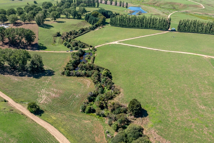
Riparian Buffer Design Guide
This guide discusses design principles and provides high-level information about the likely performance of riparian buffers. -

Constructed wetland guidelines
Constructed wetlands are a water quality restoration tool that can reduce levels of sediment, nutrients and microbes such as E. coli. -
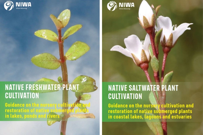
Native freshwater and saltwater plant cultivation booklets
These booklets help provide guidance on the cultivation and restoration of native submerged macrophytes. -
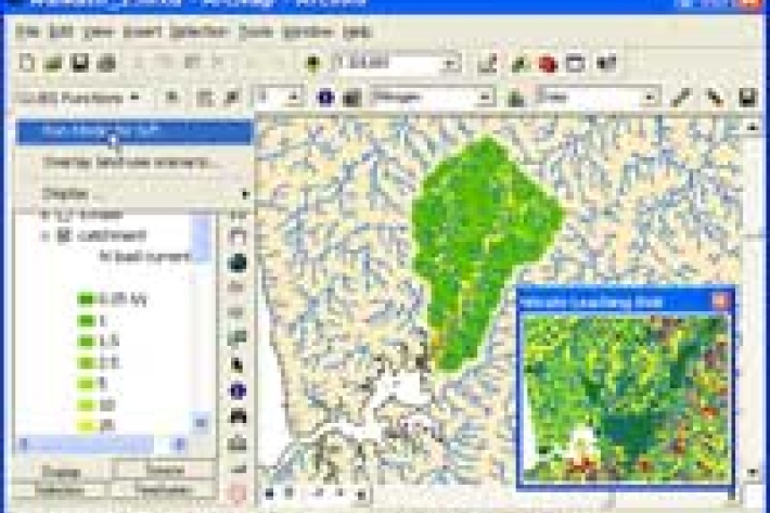
Analysis of water quality trends
NIWA has developed a powerful software tool for the analysis of water quality data. -

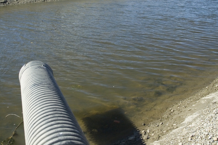
Estimating deposited fine sediment
Quorer: a simple method for estimating deposited fine sediment -

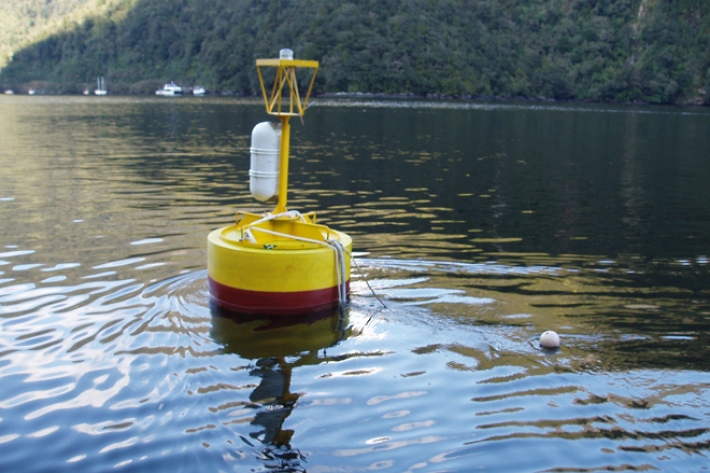
LakeSPI: Keeping tabs on lake health
Software Tool/ResourceThe condition of many NZ lakes is under threat from land-use changes and the invasion of alien aquatic plants. -
Stocktake of diffuse pollution attenuation tools for New Zealand pastoral farming systems
-
Suspended-sediment yield estimator
This national GIS ‘layer’ enables reconnaissance-scale estimation of suspended-sediment yields from New Zealand’s rivers and streams. It has been developed by NIWA in collaboration with Landcare Research. -
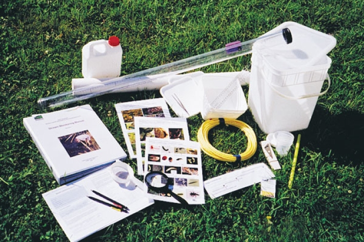
Stream Health Monitoring and Assessment Kit
ServiceHow healthy is your stream? SHMAK - the New Zealand Stream Health Monitoring and Assessment Kit - has been designed to help you find out. -
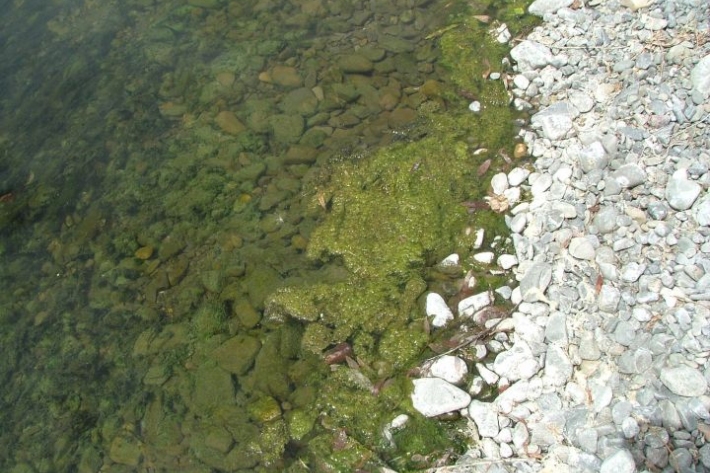
Stream periphyton monitoring manual
This manual prescribes a set of sampling and analysis protocols applicable to most of the common stream habitats in New Zealand. -
-