NIWA provides online access to major climate and environmental monitoring systems, databases and forecasting tools.

Search all New Zealand environmental research data at the National Environmental Data Centre.
Online services
-
Cam-Era
ServiceCam-Era is a network of computer-controlled cameras that monitor the New Zealand environment for research and resource management. These are also useful for surfers and swimmers. -
Tide Forecaster
ServiceNIWA's Tide forecaster provides tidal data for any point in New Zealand. -
CliFlo - the National Climate Database
Software Tool/ResourceCliFlo is an interface that provides access to New Zealand's National Climate Database. -
UV and Ozone
ServiceThis is the home for NIWA's UV and ozone research, including maps and graphs showing daily predictions and measurements for UV levels across New Zealand. -
High Intensity Rainfall Design System (HIRDS)
ServiceHIRDS is a simple online tool that can estimate the magnitude and frequency of high intensity rainfall at any point in New Zealand. -
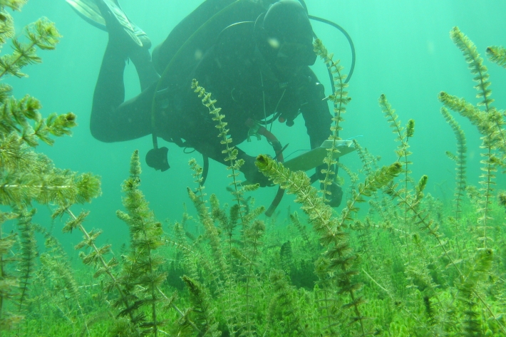
LakeSPI: Keeping tabs on lake health
Software Tool/ResourceFew New Zealand lakes retain their indigenous vegetation, and the condition of many lakes is under threat from land-use changes and the invasion of alien aquatic plants. -
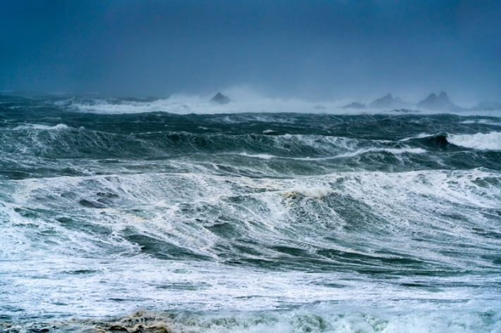
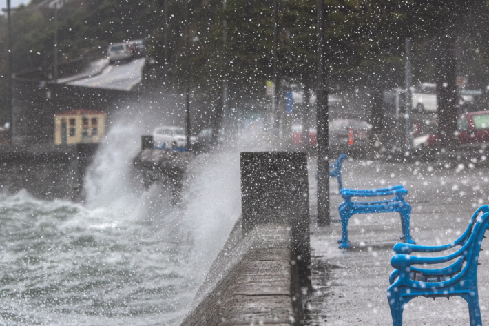
Canterbury Wave Conditions
Software Tool/ResourceNIWA run a computer model which simulates wave heights across the Canterbury continental shelf and along the coast. -
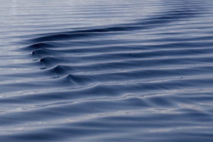
Sea levels
ServiceThis system combines daily sea-level data from NIWA, regional councils, port companies, Antarctica NZ, Bureau of Meteorology and territorial authorities. -

NIWA Invertebrate Collection
Software Tool/ResourceThe NIWA Invertebrate Collection (NIC) holds specimens from almost all invertebrate phyla. This is a result of about half a century of marine taxonomic and biodiversity research in the New Zealand region, the South West Pacific and the Ross Sea, Antarctica. -
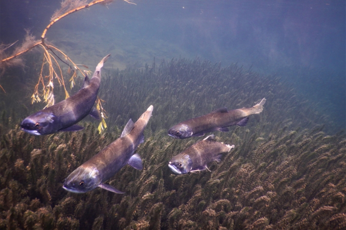
NZ Freshwater Fish Database
Software Tool/ResourceThe New Zealand Freshwater Fish Database (NZFFD) contains over 50,000 freshwater fish observations from across New Zealand from 1901 to the present. -
-
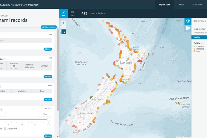
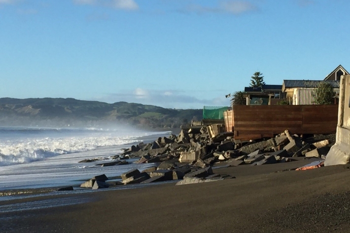
New Zealand Palaeotsunami Database
Software Tool/ResourceThe New Zealand Palaeotsunami Database (Database) brings together all known information about tsunamis that occurred prior to written records.
