Information about past climate is obtained from piecing evidence together from various sources.
These include:
- Ice cores: The ratio of oxygen isotopes in ice indicates the temperature at the time ice was deposited as snow. Also, air bubbles can be analysed to measure carbon dioxide and methane concentrations at the time the bubbles were trapped in the ice.
- Fossil pollen: Different classes of plants produce pollen grains with different distinctive shapes. Such pollen grains are often found preserved in sediment cores from ponds, lakes and oceans. They provide information on the type of plants that grew nearby when the sediments were formed.
- Lake sediments: Composition and sedimentation rates change in response to environmental conditions. Pollen in the sediments can indicate the type of vegetation present, and plankton biota indicate physical and chemical conditions in the lake water.
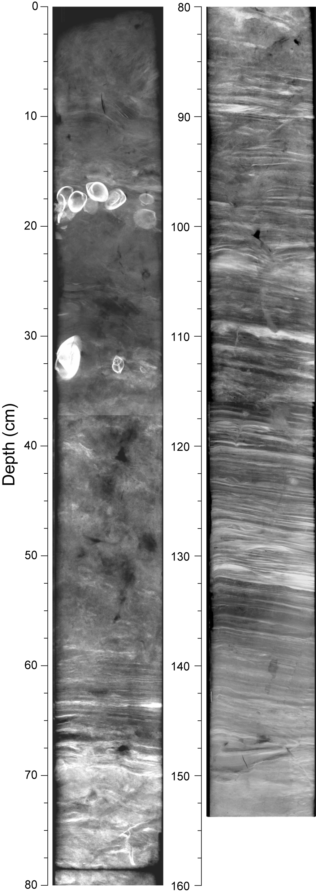
- Ocean sediment cores contain primitive shelled animals (foraminifera) whose abundance in the surface layers of the ocean depends on surface water temperature and other conditions.
- Loess is deposits on land of wind borne material. Its accumulation at a particular location can provide information on past windiness and dryness.
- Glaciers: Variations in the past size of glaciers can be inferred from the location of moraines (rocks and debris deposited by glaciers) and buried soils, and in the presence of glacial features in the landscape. In New Zealand, cool summer temperatures are only one factor in promoting ice accumulation on glaciers, and snow accumulation rates also respond to changes in the strength and direction of the westerly wind flow and sea level pressure in summer.
- Speleothems: Glacial deposits embedded within speleothems (stalactites and stalagmites) can be used to indicate periods of glacial advance (the speleothems can be dated using uranium isotope techniques). A cave in Fiordland New Zealand, which has been repeatedly overrun by glaciers, provides information going back 230,000 years.
- Tree ring width depends on the soil moisture, temperature and other growing conditions. Annual rings of trees in temperate forests can be used to reconstruct past climates.
- Boreholes: It is sometimes possible to deduce past surface temperatures going back several hundred years by measuring the way temperature varies with depth in a borehole several hundred metres deep (at a suitable site not disturbed by groundwater flow). This is because fluctuations in ground surface temperatures propagate slowly downwards into the earth as a "temperature wave".
- Instrumental measurements and written or oral records: In New Zealand, quantitative records of temperature and other meteorological records are available only for the past 150 years. Such records must be analysed carefully, to identify the influence of any non-climate factors (such as changes in observing site or method, or encroaching urban development).