New Zealand faces a variety of hazards associated with undersea geological activity.
The main hazards are:
- earthquakes
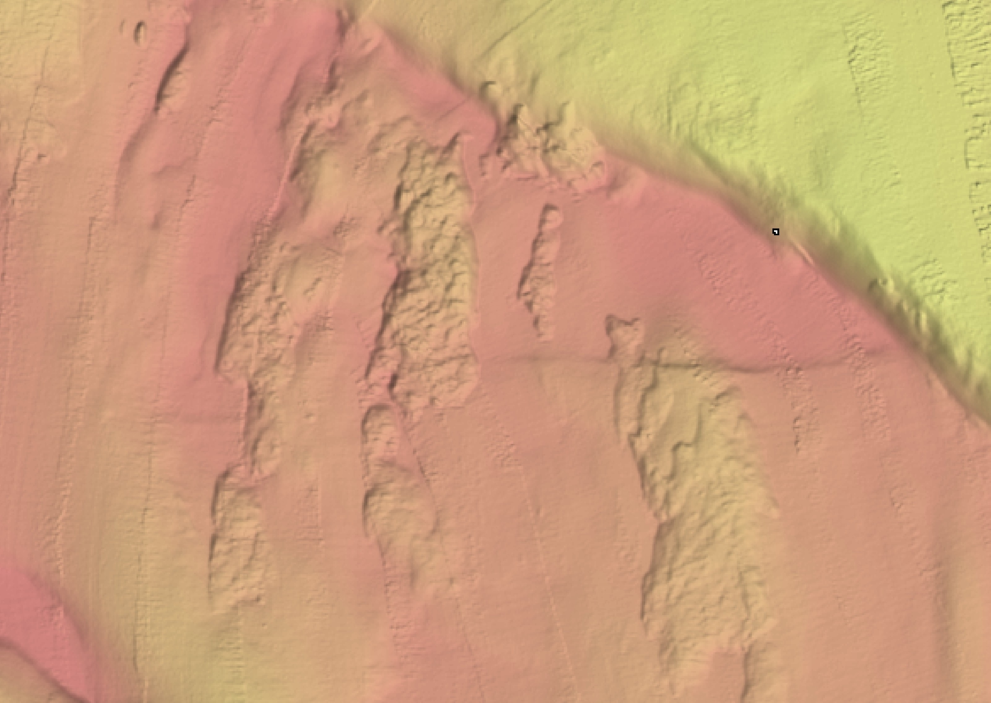
- submarine landslides and associated tsunami
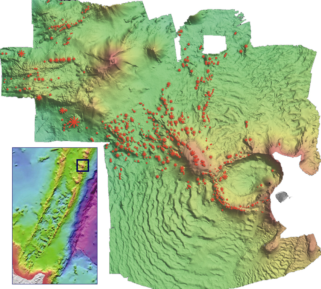
- volcanic eruptions
- seafloor scour, sediment transport, and shallow gas.
All these hazards have an effect both on land and under the sea.
Causes of marine geological hazards
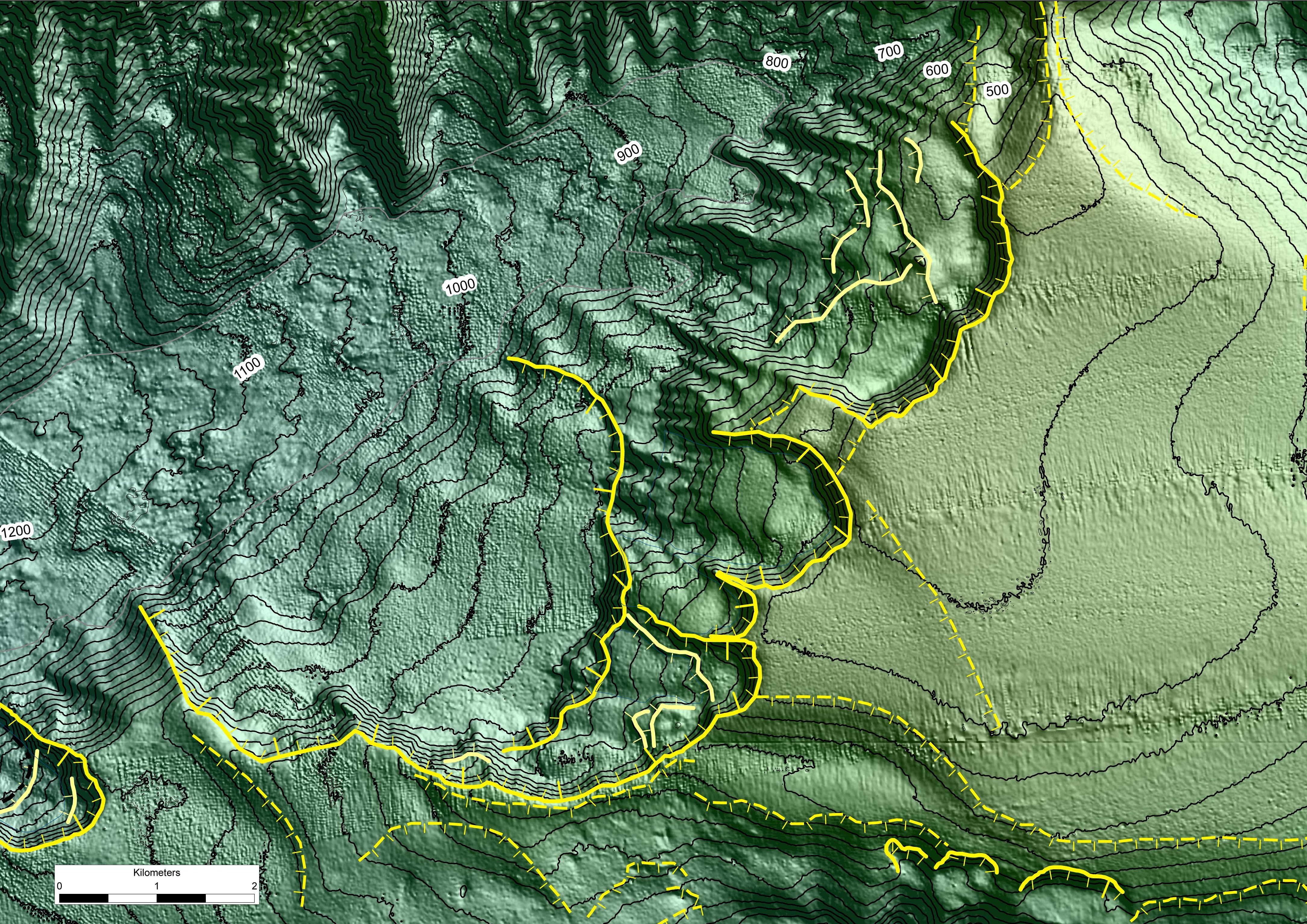
New Zealand sits astride two moving segments of the planet's surface – the Pacific and Australian tectonic plates. New Zealand is riddled with faults created by the collision of these plates. Some faults are just on land, some are under the sea, and others straddle land and sea.
The plates are continually moving. This can cause a fault to rupture, triggering an earthquake and associated hazards. The coast of New Zealand is largely surrounded by active faults capable of triggering large-magnitude earthquakes.
Danger associated with marine geological hazards
As the plates move, huge amounts of energy are released. Molten rock can also be forced up through the earth's surface. The main resultant dangers include:
- ground shaking resulting in above-ground landslides, infrastructure and building damage and collapse
- tsunami – caused (i) directly be undersea earthquakes shifting the seafloor up or down, or (ii) indirectly by massive undersea landslides triggered by strong earthquake shaking
- volcanic eruptions (both on land and under the sea), with associated lava flows, and tephra (volcanic ash).
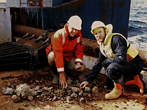
Recent submarine earthquakes and landslides around New Zealand
- the Mw 8.1 September 2009 Pacific tsunami which devastated areas of Samoa, American Samoa, and Tonga, and cost the lives of 226 people.
- the Mw 7.8 earthquake off the coast of Fiordland in 2009, which caused no injuries but widespread shaking in Fiordland.
- the Mw 6.8 Pacific Plate earthquake which struck Gisborne in 2007, causing damage to buildings in the CBD, but no injuries.
- The recent devastating September 4th 2010 M7.1 Darfield earthquake and February 22nd M6.3 Lyttelton aftershock caused faults to break beneath the Canterbury plains and Port Hills. NIWA scientists are now investigating if the fault zone extends offshore or not.
One of the most devastating undersea earthquake and resultant tsunami in living memory is the Mw 9.0 March 2011 earthquake off the coast of northern Japan. An estimated 21 000 people are now thought to have perished, mainly as a result of the massive tsunami which destroyed whole towns and villages.