NIWA provides free New Zealand Region bathymetric datasets and images.
This dataset provides the most up-to-date bathymetry of one of the largest areas of deep-water seabed under national jurisdiction. The 250m resolution gridded bathymetric data set encompasses New Zealand's Exclusive Economic Zone and is available in multiple high-resolution file formats to suit a range of imagery and mapping needs.
-----
New edition of the Undersea New Zealand printed chart now available
-----
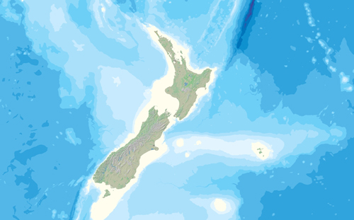
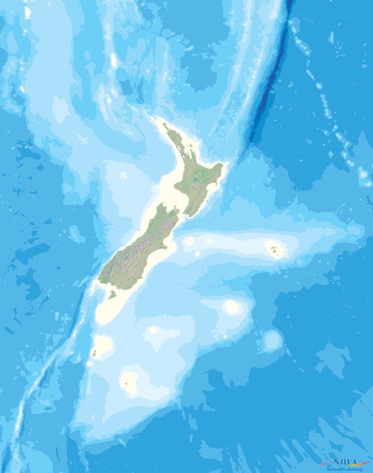
New Zealand Regional Bathymetry (2016)
The NZ 250m gridded bathymetric data set and imagery, Mitchell et al. 2012, released 2016.
This dataset is available through NIWA's Geoaptial Portal under
https://data-niwa.opendata.arcgis.com/datasets/nz-bathymetry-250m-imagery-raster-layer/explore
Further information about New Zealand region bathymetry (2016)
Bay of Plenty Bathymetry
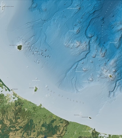
Bay of Plenty gridded bathymetric dataset. Lamarche et al. (2018).
Bay of Plenty 25m ESRI binary grid 176 Mb (zip)
Hauraki Gulf Bathymetry
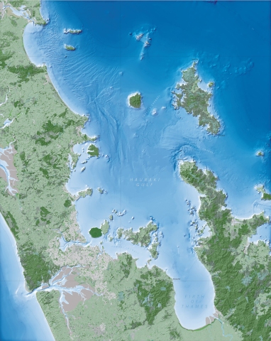
Hauraki Gulf gridded bathymetric dataset and imagery, Mackay et al. (2012).
Hauraki 20m ESRI binary grid 197Mb (zip) with data coverage map JPG 1.25Mb (1689x2121)
Further information about Hauraki Gulf Bathymetry
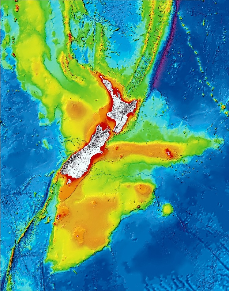
New Zealand Region Bathymetry (2008)

The NZ 250m gridded bathymetric data set and imagery, CANZ (2008). 8235x10460 pixels image [TIF 246 MB] 4117x5230 pixels image [JPG 1.32 MB] MapInfo Interchange Format [ZIP 106 MB] ESRI Shapefile [ZIP 68 MB] NZ 250m ESRI ASCII grid [ZIP 530 MB] NZ 250m ESRI binary grid [ZIP 592 MB]
Further information about New Zealand region bathymetry (2008)
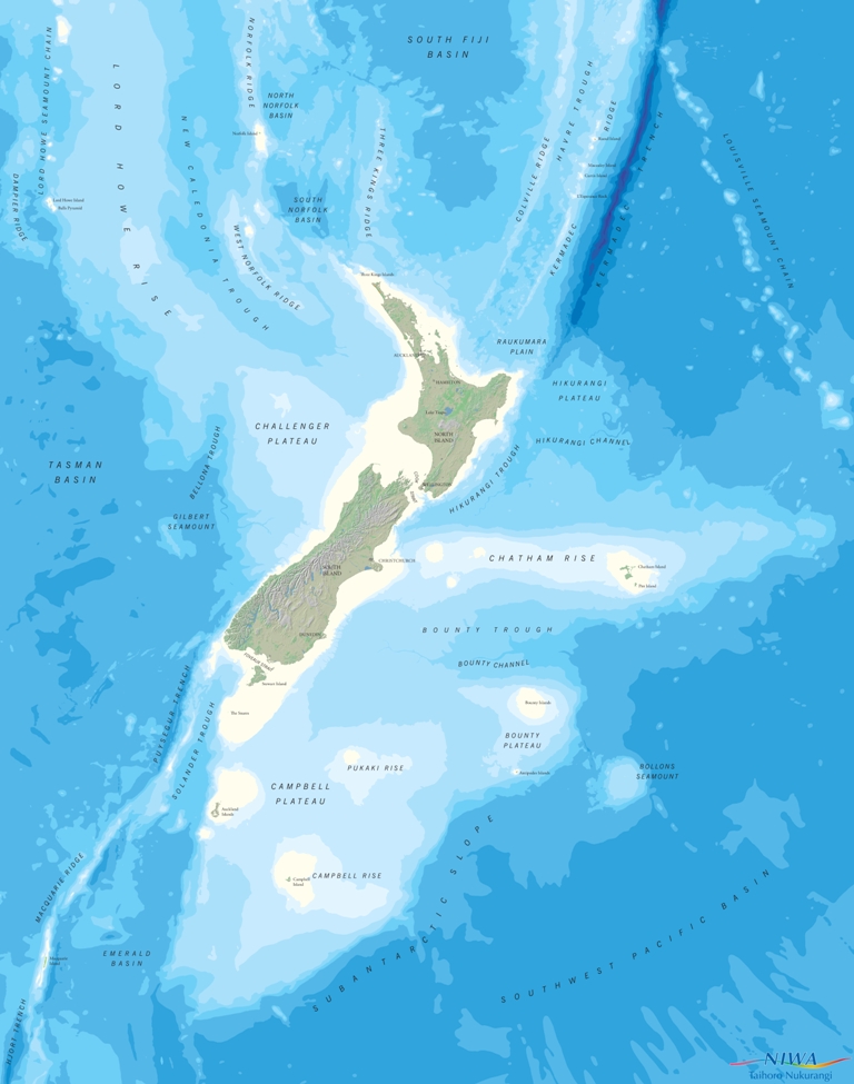
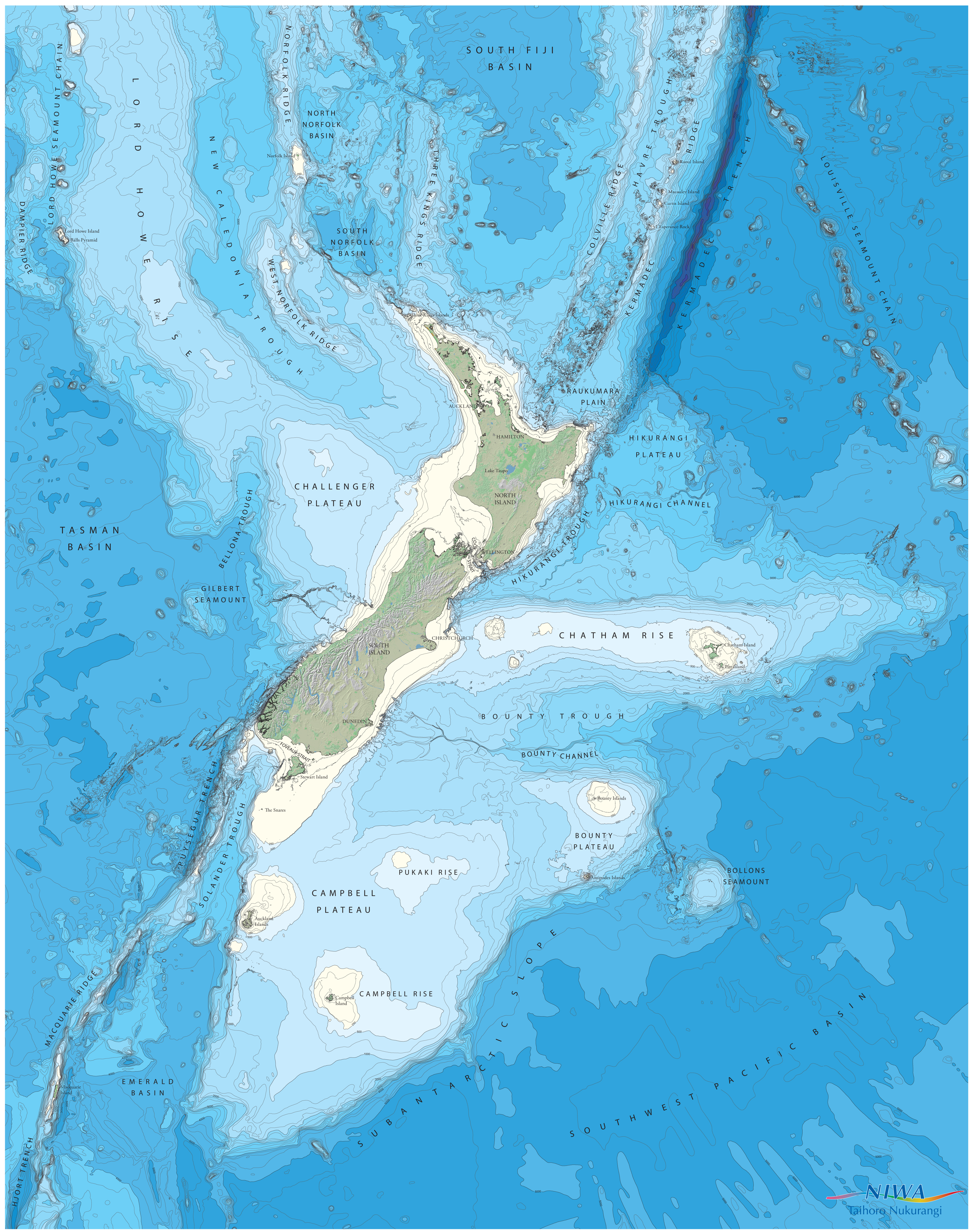
Annotated New Zealand Region Bathymetry

Annotated NZ 250m gridded bathymetric imagery, CANZ (2008), with either undersea feature names or EEZ. Undersea feature names TIF 246Mb (8235x10460) JPG 1.59Mb (4117x5230) Undersea feature names with Contours TIF 329Mb (8235x10460) JPG 5.8Mb (4117x5230) Exclusive Economic Zone (EEZ) TIF 401Mb (8235x10460) JPG 8.93Mb (4117x5230)
Further information about annotated New Zealand region bathymetry
Southwest Pacific Region Bathymetry
A bathymetric image compiled from of the NZ 250m gridded bathymetric data set, CANZ (2008) and The Centenary Edition of the GEBCO Digital Atlas, 2003. GeoTIFF 162Mb (zip) (16826x21917) JPG 38Mb (8413x10959)
Further information about Southwest Pacific region bathymetry