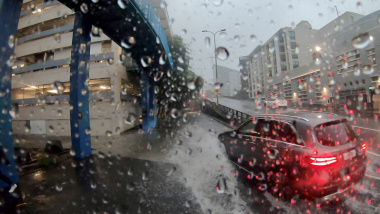
A rainfall planning tool for engineers – have you HIRD of it?
The latest version (V3) of NIWA’s High Intensity Rainfall Design System (HIRDS) is a web-based system that lets engineers find out how much rain they should design for at any location in New Zealand. It will tell them the probability of a really big downpour, and how big that downpour might be.
“It is used for designing infrastructure for the future,” says NIWA Engineering Hydrologist, Graeme Horrell.
HIRDS offers council planners and engineers information about the frequency of high-intensity rainfalls, enabling them to better design stormwater drainage systems, and other structures.
A location in New Zealand is selected using Google Maps and HIRDS does the rest.
HIRDS provides storm rainfall depths from 10 minutes to 72 hours for storm events which could occur at frequencies ranging from once per year to once per 100 years.
HIRDS can estimate rainfall frequency and rainfall depths for hydrological design purposes, and assess the probability of observed storm events.
“It is used, for example by people designing car parks, to help design for run-off, because they can assess what rainfall depths they should expect, for example, in a 30-minute, 5-year storm at the carpark location.”
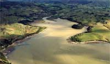
“The timeframes are significant because long timeframes (72 hours) are important for assessing floods in big rivers,” says Graeme Horrell. “This version of HIRDS is considerably improved, mainly because regional council rainfall data was included in it's development. It was then tested by regional council design engineers, who gave it the thumbs up.
This web based tool, www.niwa.co.nz/our-services/online-services/hirds, is easy to use. The user enters the street address, or coordinates of latitude and longitude of the location, and HIRDS calculates the intensity estimates.
A table appears on the screen with a series of depth, duration, and frequency statistics for rainfalls in minutes and hours.
Version 3 enables users to generate tables of high intensity rainfall for given climate change scenarios. By entering projected temperature changes for the location for up to three periods, extreme rainfall tables can be generated for the given scenario.
This research is funded by the Foundation for Research, Science and Technology.