The tropical Pacific is currently in a weak to moderate LaNiña
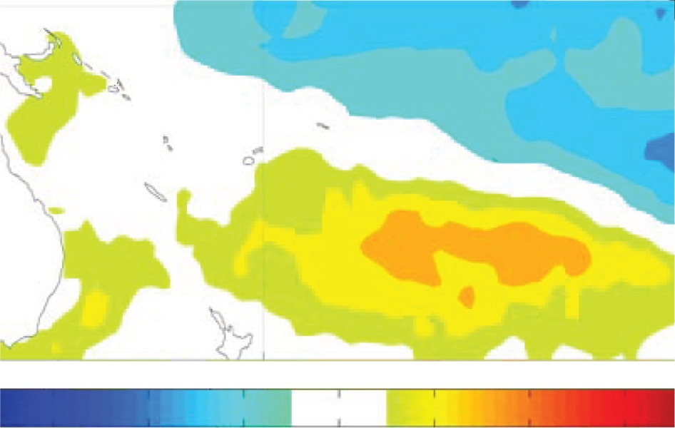
The tropical Pacific is currently in a weak to moderate LaNiña. The SOI has risen slightly from October, with an OLR pattern continuing to show suppressed convection centred loosely around the Date Line, but near–normal convection over Indonesia as a recent MJO event acted to offset the increased convection typically associated with La Niña. An area of strongly enhanced convection developed over northern Australia in November, as well as Fiji to Samoa and including the Cooks. The TRMM ENSO index was static at –0.6 for November (–0.6 in October).
A weak Madden–Julian Oscillation (MJO) is currently over the Indian Ocean. The majority of climate models suggest that if this MJO continues at the current speed, it will redevelop in the western Maritime Continent in early December. Zonal wind anomalies in the equatorial Pacific showed somewhat enhanced trade winds at mid– month, although there was a notable interruption due to intraseasonal variability/MJO.
Sea surface temperature anomalies continue their negative trend in the east– central equatorial Pacific (with the weekly NINO3.4 around –0.9°C). At the sub–surface, the negative heat content/temperature anomaly in the central Pacific continues to strengthen and to propagate eastwards. In the extra-tropics, the remnant warm "horseshoe" from the previous La Niña (July 2010–Apr 2011) remains evident.
All but two of the dynamical ENSO models NIWA monitor predict La Niña conditions through to February, with over half the dynamical models continuing La Niña conditions through MAM 2012. It is considered unlikely that the current La Niña will be as strong as La Niña event of 2010-11.

