Suspended-sediment yield estimator
This national GIS ‘layer’ enables reconnaissance-scale estimation of suspended-sediment yields from New Zealand’s rivers and streams. It has been developed by NIWA in collaboration with Landcare Research.
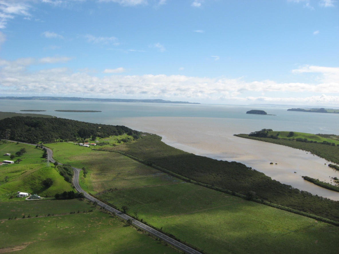
Predicting long-term average suspended-sediment loads in rivers and streams is useful for dealing with a variety of issues. These include sediment entrapment rates in potential reservoirs and the vulnerability of estuarine and coastal marine habitats to sediment influxes from the land.
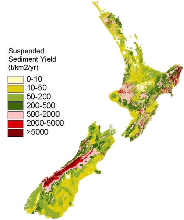
To facilitate this prediction, we have generated a raster-based GIS layer of specific suspended-sediment yield (SSY, t/km2/y) from New Zealand’s rivers and streams based on gauged sediment yields at over 200 river stations and an empirical model. The model relates sediment yield per unit area to mean annual rainfall and to an ‘erosion terrain’ classification, and has been calibrated off the river-gauging data. The erosion terrains were defined by Landcare Research on the basis of slope, rock type, soils, dominant erosion processes, and expert knowledge.
The resulting map of sediment delivery to rivers and streams has been adjusted over the gauged catchments so that the sediment yield predicted by the empirical model matches the gauged yields.
See the SSY map of sediment delivery to rivers and streams (JPG 72 KB)
The layer can be used to estimate suspended-sediment delivery to rivers and streams from within any defined catchment boundary. It was developed as a series of GRID files within the ARC GIS system.
Download the pilot-release version of the GIRD files and instructions for use (ZIP 120 MB)
